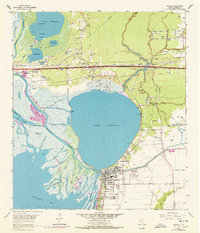
1961 Map of Anahuac
USGS Topo · Published 1978About this map
Lake Anahuac dominates the central landscape of this coastal survey, where the Trinity River meets the expansive Trinity Bay. The map documents a complex delta environment defined by intricate watercourses like Old River Pass, Jacks Bayou, and the Anahuac Channel. In the town of Anahuac, civic life is centered around the Courthouse, Chambers Memorial Hospital, and Old Fort Anahuac, while the surrounding rural landscape is dotted with family-named landmarks and essential community institutions. To the north, the small settlements of Wallisville and Eminence sit near the Turtle Bay Oil Field, illustrating the region's mid-century petroleum economy. Genealogists will find significant value in the numerous small burial grounds, including the Benjamin Barrow Cem, Wiggins Cem, and Bayshore Cem, which mark the homesteads of early Chambers County settlers.
Find a feature on this map
87 named features on this map. Tap any name to fly to it.
Don’t see what you’re looking for? This feature index may not catch every label — zoom into the map to look around manually.
Map Details
Editions of this 1961 Anahuac Map
3 editions found
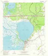
Other maps of this area

1942 · Anahuac
USGS Topo · 1:24,000

1943 · West of Eagle
USGS Topo · 1:31,680

1943 · Whites Bayou
USGS Topo · 1:24,000

1950 · Houston
USGS Topo · 1:250,000

1956 · Houston
USGS Topo · 1:250,000
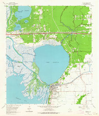
1961 · Anahuac
USGS Topo · 1:24,000
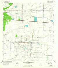
1961 · Monroe City
USGS Topo · 1:24,000
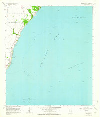
1961 · Umbrella Point
USGS Topo · 1:24,000
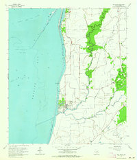
1961 · Oak Island
USGS Topo · 1:24,000

1961 · Shiloh
USGS Topo · 1:24,000