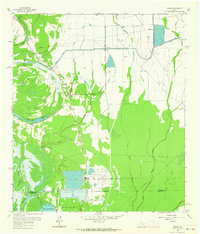
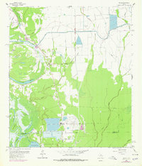
1961 Map of Shiloh
USGS Topo · Published 1964About this map
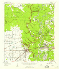
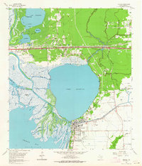
Industrial extraction and rural settlement meet in this coastal Texas landscape, where the Sulphur Plant and numerous Oil Well sites dot the terrain near Sulphur Wells. The area is characterized by an intricate network of water management, dominated by the Devers Canal and its West Branch Devers Canal, which cut through the lowlands of Moss Bluff and Swinney Marsh.
Find a feature on this map
54 named features on this map. Tap any name to fly to it.
Don’t see what you’re looking for? This feature index may not catch every label — zoom into the map to look around manually.
Map Details
Editions of this 1961 Shiloh Map
2 editions found
Other maps of this area
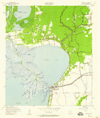
1942 · Anahuac
USGS Topo · 1:24,000
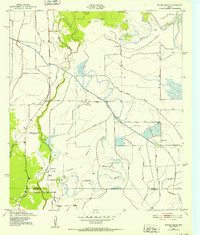
1943 · Whites Bayou
USGS Topo · 1:24,000
1943 · Liberty
USGS Topo · 1:125,000

1950 · Houston
USGS Topo · 1:250,000

1954 · Beaumont
USGS Topo · 1:250,000
1955 · Daisetta
USGS Topo · 1:62,500
1955 · Liberty
USGS Topo · 1:62,500

1956 · Houston
USGS Topo · 1:250,000

1957 · Beaumont
USGS Topo · 1:250,000
1961 · Anahuac
USGS Topo · 1:24,000