
1943 Map of West of Eagle
USGS Topo · Published 1943About this map
Trinity Bay defines the eastern shoreline of this Chambers County landscape, where the coastal prairie meets the marshes of the Texas gulf coast during the early 1940s. The map reveals a sparse network of early roads and family-named landmarks that hint at the area's transition from rural acreage to localized development. Settlement activity is concentrated along the western edge of the bay, characterized by the Fisher Cem and the Optimist Camp. Small coastal features like Cedar Gully cut into the shoreline, while the inland area is marked by survey points such as Beazley and Beazley 2. A handful of thoroughfares, including McKinney Rd and Tri-City Rd, connect the small bayside clearings to the larger regional network. This survey, mapped by the Tennessee Valley Authority for the War Department, provides a clear view of the bay's edge before the significant industrial and residential expansion of the mid-century transformed the coastline.
Find a feature on this map
11 named features on this map. Tap any name to fly to it.
Don’t see what you’re looking for? This feature index may not catch every label — zoom into the map to look around manually.
Map Details
Editions of this 1943 West of Eagle Map
This is the sole edition of this map. No revisions or reprints were ever made.
Other maps of this area

1916 · Morgan Point
USGS Topo · 1:24,000

1916 · Cedar Bayou
USGS Topo · 1:24,000

1919 · Morgan Point
USGS Topo · 1:31,680

1919 · Cedar Bayou
USGS Topo · 1:31,680

1932 · Clifton By The Sea
USGS Topo · 1:31,680

1933 · Whites Lake
USGS Topo · 1:31,680

1933 · Smith Point
USGS Topo · 1:31,680

1942 · Anahuac
USGS Topo · 1:24,000
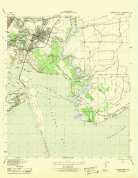
1943 · Morgan Point
USGS Topo · 1:31,680
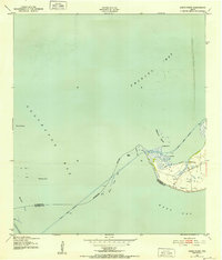
1943 · Smith Point
USGS Topo · 1:24,000