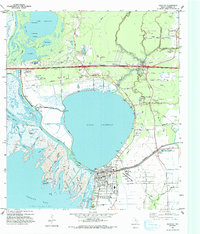
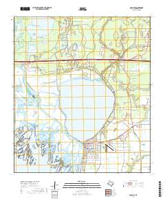
1961 Map of Anahuac
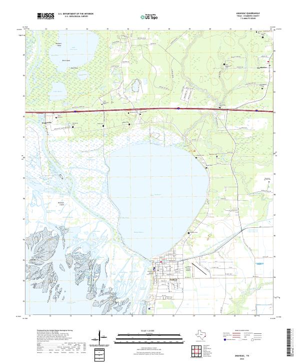
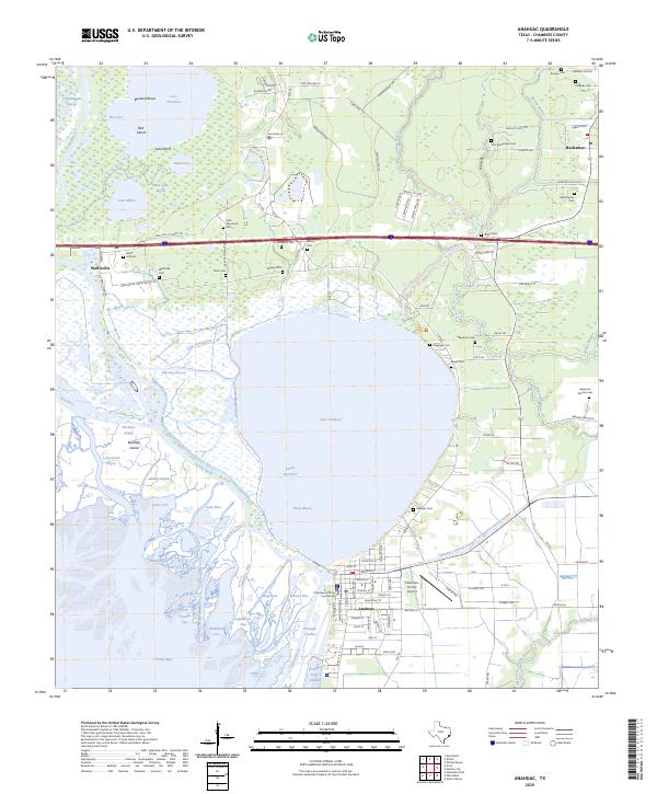
USGS Topo · Published 1973About this map
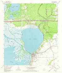
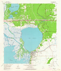
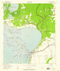
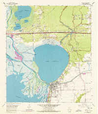
The delta of the Trinity River dominates this coastal landscape, where the river fans out into complex channels like Big Triangle Pass and Little Triangle Pass before entering Trinity Bay. At the center of this 1961 revision is Lake Anahuac, bordered by the town of Anahuac, which serves as a hub of local government and healthcare with its Courthouse and Chambers Memorial Hospital. The map records an economy transitioning between traditional river life and modern industry, evidenced by the Turtle Bay Oil Field and numerous sandpits interspersed with family landholdings.
Find a feature on this map
78 named features on this map. Tap any name to fly to it.
Don’t see what you’re looking for? This feature index may not catch every label — zoom into the map to look around manually.
Map Details
Editions of this 1961 Anahuac Map
3 editions found
Historical Maps of Anahuac Through Time
10 maps found
1942 Anahuac
Chambers County, TX
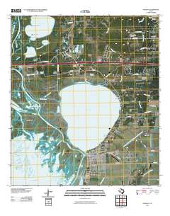
1961 Anahuac
Chambers County, TX

1983 Anahuac
Chambers County, TX
1993 Anahuac
Chambers County, TX
2010 Anahuac
Chambers County, TX
2013 Anahuac
Chambers County, TX
2016 Anahuac
Chambers County, TX
2019 Anahuac
Chambers County, TX
2022 Anahuac
Chambers County, TX
2025 Anahuac
Chambers County, TX