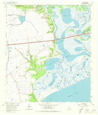
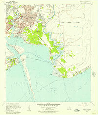
1961 Map of Cove
USGS Topo · Published 1973About this map
Cotton Lake and its surrounding wetlands define this coastal landscape on the edge of Trinity Bay. In the early 1960s, the area's economy was heavily tied to the extraction of natural resources, visible in the extensive South Cotton Lake Oil Field and Lost Lake Oil Field. A complex network of water bodies, including Old River Lake and Lost Lake, create a fragmented terrain of islands like Horse Island and Mustang Island.
Find a feature on this map
64 named features on this map. Tap any name to fly to it.
Don’t see what you’re looking for? This feature index may not catch every label — zoom into the map to look around manually.
Map Details
Editions of this 1961 Cove Map
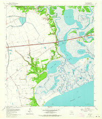
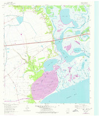
Other maps of this area

1916 · Morgan Point
USGS Topo · 1:24,000

1916 · Cedar Bayou
USGS Topo · 1:24,000

1919 · Morgan Point
USGS Topo · 1:31,680

1919 · Cedar Bayou
USGS Topo · 1:31,680

1942 · Anahuac
USGS Topo · 1:24,000

1943 · West of Eagle
USGS Topo · 1:31,680
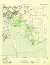
1943 · Morgan Point
USGS Topo · 1:31,680

1943 · Cedar Bayou
USGS Topo · 1:24,000

1950 · Houston
USGS Topo · 1:250,000
1956 · Morgan Point
USGS Topo · 1:24,000