2023 Map of Cove Point
USGS Topo · Published 2023About this map
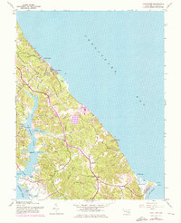
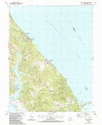
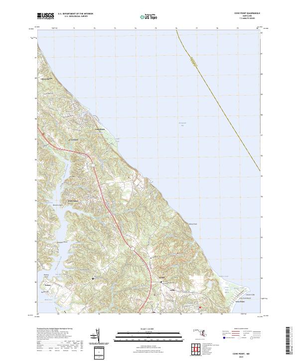
Chesapeake Bay dominates the eastern horizon of this Calvert County peninsula, where the landscape is defined by deeply inset tidal inlets and prominent coastal features. Along the southern shoreline, Nutts Cliffs and the famous Calvert Cliffs overlook the bay, while the inland topography is carved by a network of waterways including Saint Leonard Creek, Hellen Creek, and the Saint Paul Branch. This coastal environment has long shaped the settlement patterns of the region, from the residential clusters at Lusby and St. Leonard to the exposed reach of Cove Point Beach.
Find a feature on this map
105 named features on this map. Tap any name to fly to it.
Don’t see what you’re looking for? This feature index may not catch every label — zoom into the map to look around manually.
Map Details
Editions of this 2023 Cove Point Map
This is the sole edition of this map. No revisions or reprints were ever made.
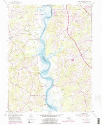
Historical Maps of Cape Leonard Through Time
6 maps found