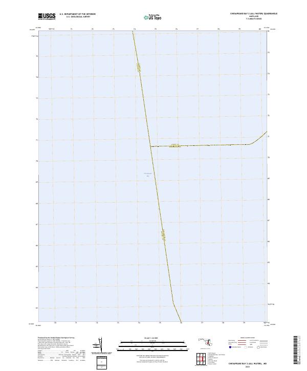
2023 Map of Chesapeake Bay 2 (All Water)
USGS Topo · Published 2023About this map
Chesapeake Bay dominates this maritime survey, illustrating the convergence of three Maryland county lines within the open water. The map traces the mid-bay boundaries where Talbot Co meets Calvert Co and Dorchester Co. Unlike typical topographic maps that feature land-based infrastructure, this 2023 edition is focused entirely on the aquatic geography of the bay, providing a clear visualization of the political partitions that exist beneath the waves. It serves as a specialized reference for understanding the administrative divisions in this significant portion of the Chesapeake estuary.
Find a feature on this map
4 named features on this map. Tap any name to fly to it.
Don’t see what you’re looking for? This feature index may not catch every label — zoom into the map to look around manually.
Map Details
Editions of this 2023 Chesapeake Bay 2 (All Water) Map
This is the sole edition of this map. No revisions or reprints were ever made.
Other maps of this area

1892 · Leonardtown
USGS Topo · 1:62,500

1892 · Drum Point
USGS Topo · 1:62,500

1892 · Prince Frederick
USGS Topo · 1:62,500

1893 · Sharps Island
USGS Topo · 1:62,500

1895 · Prince Frederick
USGS Topo · 1:62,500

1895 · Leonardtown
USGS Topo · 1:62,500

1895 · Nomini
USGS Topo · 1:125,000

1898 · Choptank
USGS Topo · 1:125,000

1898 · Nomini
USGS Topo · 1:125,000

1898 · St. Marys
USGS Topo · 1:125,000