
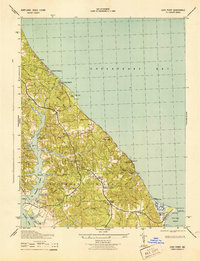
1943 Map of Cove Point
USGS Topo · Published 1976About this map
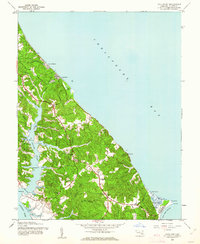
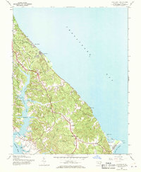
Chesapeake Bay shorelines and the tidal estuaries of Calvert County dominate this 1943 survey, updated with 1974 revisions. The landscape is defined by the intricate finger-like projections of St Leonard Creek and Hellen Creek as they drain toward the Patuxent River to the west. On the eastern side, the prominent sandy hook of Cove Point features its namesake Lighthouse and the Cove Point Marsh, a rare coastal wetland system punctuated by Wilbur Pond.
Find a feature on this map
46 named features on this map. Tap any name to fly to it.
Don’t see what you’re looking for? This feature index may not catch every label — zoom into the map to look around manually.
Map Details
Editions of this 1943 Cove Point Map
4 editions found
Other maps of this area

1892 · Leonardtown
USGS Topo · 1:62,500

1892 · Drum Point
USGS Topo · 1:62,500

1892 · Prince Frederick
USGS Topo · 1:62,500

1893 · Sharps Island
USGS Topo · 1:62,500

1895 · Prince Frederick
USGS Topo · 1:62,500

1895 · Leonardtown
USGS Topo · 1:62,500

1895 · Nomini
USGS Topo · 1:125,000

1898 · Choptank
USGS Topo · 1:125,000

1898 · Nomini
USGS Topo · 1:125,000

1898 · St. Marys
USGS Topo · 1:125,000