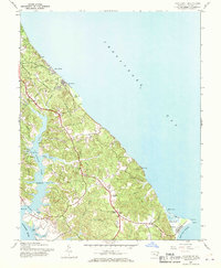
1943 Map of Cove Point
USGS Topo · Published 1970About this map
The Cove Point lighthouse and its surrounding marshlands anchor this mid-century survey of the Calvert County coastline. In the 1940s, this portion of Maryland’s western shore shows a landscape defined by deeply incised tidal creeks like St Leonard Creek and Mill Creek, which reach inland toward agricultural uplands. The era’s rural character is preserved in the locations of Middleham Chapel, St Johns Ch, and St Pauls Ch, while the growing recreational use of the Chesapeake Bay is evident at Calvert Beach and Long Beach. The map details a complex network of coastal features, from the Flag Ponds to the military presence at Camp Conoy, illustrating how topography shaped settlement patterns before modern expansion. This document captures the transition of a maritime and farming community as it developed along the banks of the Patuxent River and the bay.
Find a feature on this map
45 named features on this map. Tap any name to fly to it.
Don’t see what you’re looking for? This feature index may not catch every label — zoom into the map to look around manually.
Map Details
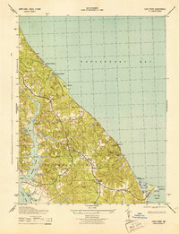
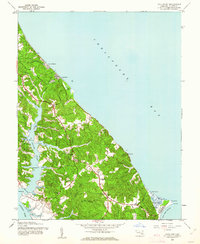
Editions of this 1943 Cove Point Map
4 editions found

Other maps of this area

1892 · Leonardtown
USGS Topo · 1:62,500

1892 · Drum Point
USGS Topo · 1:62,500

1892 · Prince Frederick
USGS Topo · 1:62,500

1893 · Sharps Island
USGS Topo · 1:62,500

1895 · Prince Frederick
USGS Topo · 1:62,500

1895 · Leonardtown
USGS Topo · 1:62,500

1895 · Nomini
USGS Topo · 1:125,000

1898 · Choptank
USGS Topo · 1:125,000

1898 · Nomini
USGS Topo · 1:125,000

1898 · St. Marys
USGS Topo · 1:125,000