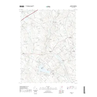
2018 Map of Coventry
USGS Topo · Published 2018About this map
Coventry Lake (Wangumbaug Lake) serves as a central landmark for this part of Tolland County, surrounded by the established settlements of Coventry and South Coventry. The landscape is defined by its water systems and early transport routes, with the Willimantic River and the Skungamaug River carving paths through the terrain. The eastern edge of the survey captures the expansion of Storrs and the University of Connecticut, while the Central Vermont Railroad corridor maintains its path through Mansfield Depot. Genealogists will find several notable burial grounds, including the Nathan Hale Cemetery and the Tolland Cemetery. The map documents the persistent rural-suburban character of the region, where family farms like Jo Farms sit near significant heights such as Cassidy Hill and Riley Mountain.
Find a feature on this map
69 named features on this map. Tap any name to fly to it.
Don’t see what you’re looking for? This feature index may not catch every label — zoom into the map to look around manually.
Map Details
Editions of this 2018 Coventry Map
This is the sole edition of this map. No revisions or reprints were ever made.
Other maps of this area

1892 · Woodstock
USGS Topo · 1:62,500

1892 · Tolland
USGS Topo · 1:62,500

1892 · Norwich
USGS Topo · 1:62,500

1892 · Gilead
USGS Topo · 1:62,500

1921 · Tolland
USGS Topo · 1:62,500

1921 · Woodstock
USGS Topo · 1:62,500

1944 · Marlboro
USGS Topo · 1:31,680

1944 · South Coventry
USGS Topo · 1:31,680

1944 · Columbia
USGS Topo · 1:31,680
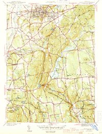
1944 · Rockville
USGS Topo · 1:31,680