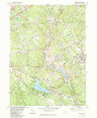
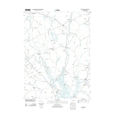
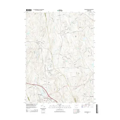
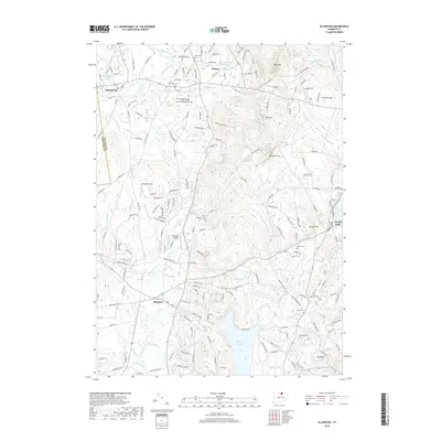
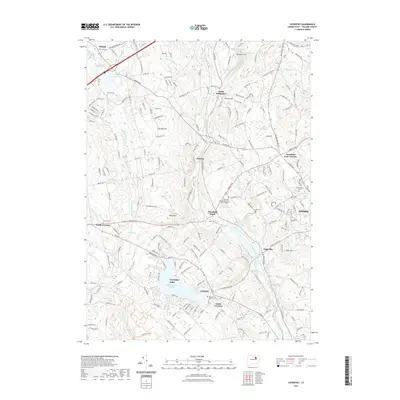
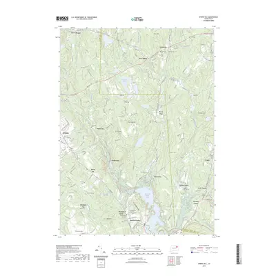
1983 Map of Coventry
USGS Topo · Published 1984About this map
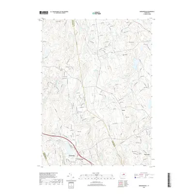
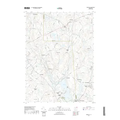
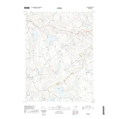
Wangumbaug Lake dominates the southern landscape of this 1980s-era survey, serving as a focal point for the town of Coventry. This area is deeply tied to regional heritage, preserved at the Nathan Hale Birthplace and the surrounding Nathan Hale State Forest. The geography is defined by the Willimantic River valley, which acts as a corridor for the Central Vermont railroad and separates the hilltop settlements of Tolland and Willington Hill. To the east, the expansion of the University of Connecticut in Storrs contrasts with the industrial and institutional history found at Mansfield Depot and the State Hospital. Smaller hamlets like Merrow and Eagleville persist along the river, while numerous gravel pits and schools like Parker Mem Sch illustrate the mid-century growth and infrastructure development in this portion of Tolland County.
Find a feature on this map
86 named features on this map. Tap any name to fly to it.
Don’t see what you’re looking for? This feature index may not catch every label — zoom into the map to look around manually.
Map Details
Editions of this 1983 Coventry Map
2 editions found
Historical Maps of Mansfield Through Time
42 maps found

1892 Gilead
Tolland County, CT

1892 Tolland
Tolland County, CT

1921 Tolland
Tolland County, CT

1928 Long Meadow
Tolland County, CT

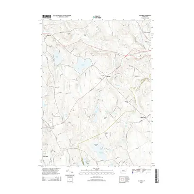
1944 Columbia
Tolland County, CT

1944 Marlboro
Tolland County, CT

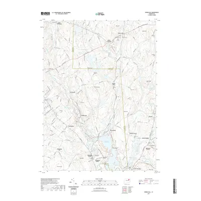
1945 Spring Hill
Tolland County, CT

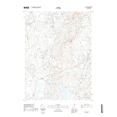
1946 Ellington
Tolland County, CT

1953 Columbia
Tolland County, CT

1953 Ellington
Tolland County, CT

1953 Marlborough
Tolland County, CT

1953 Spring Hill
Tolland County, CT

1967 Ellington
Tolland County, CT

1967 Marlborough
Tolland County, CT

1983 Coventry
Tolland County, CT

1983 Spring Hill
Tolland County, CT

2012 Columbia
Tolland County, CT
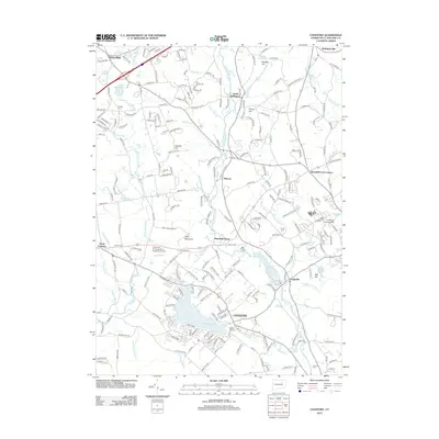
2012 Coventry
Tolland County, CT
2012 Ellington
Tolland County, CT
2012 Marlborough
Tolland County, CT
2012 Spring Hill
Tolland County, CT
2015 Columbia
Tolland County, CT
2015 Coventry
Tolland County, CT
2015 Ellington
Tolland County, CT
2015 Marlborough
Tolland County, CT
2015 Spring Hill
Tolland County, CT
2018 Columbia
Tolland County, CT
2018 Coventry
Tolland County, CT
2018 Ellington
Tolland County, CT
2018 Marlborough
Tolland County, CT
2018 Spring Hill
Tolland County, CT
2021 Columbia
Tolland County, CT
2021 Coventry
Tolland County, CT
2021 Ellington
Tolland County, CT
2021 Marlborough
Tolland County, CT
2021 Spring Hill
Tolland County, CT
2023 Spring Hill
Tolland County, CT

2024 Columbia
Tolland County, CT

2024 Coventry
Tolland County, CT

2024 Ellington
Tolland County, CT

2024 Marlborough
Tolland County, CT

2024 Spring Hill
Tolland County, CT