
1945 Map of Covesville
USGS Topo · Published 1945About this map
Batesville and the surrounding foothill communities of Albemarle County are captured here just after the war, showing a landscape defined by its river-and-rail industry. The southern edge of the quadrangle follows the James River, where Scottsville and Warren serve as historic focal points for waterborne transit and the Chesapeake and Ohio railroad line. Further inland, the complex geography of Green Mountain and the Ragged Mountains separates small agrarian and industrial settlements. The map highlights the local importance of the Virginia Albemarle railroad, which historically served the soapstone quarrying industry centered around Alberene. Researchers will find a high density of rural institutions, from Mt Zion Ch and Sharon Ch to local education centers like Garland Sch and Warren Sch. This 1945 revision, based on aerial photography, provides a clear view of the pre-modern road network connecting the Hardware River crossings at Johnson Mill and Dawson Mill.
Find a feature on this map
69 named features on this map. Tap any name to fly to it.
Don’t see what you’re looking for? This feature index may not catch every label — zoom into the map to look around manually.
Map Details
Editions of this 1945 Covesville Map
This is the sole edition of this map. No revisions or reprints were ever made.
Historical Maps of Scottsville Through Time
43 maps found

1929 Covesville
Albemarle County, VA

1931 University
Albemarle County, VA

1935 Charlottesville
Albemarle County, VA

1935 Covesville
Albemarle County, VA

1935 University
Albemarle County, VA

1939 Charlottesville
Albemarle County, VA
1945 Covesville
Albemarle County, VA

1949 Charlottesville
Albemarle County, VA

1949 Charlottesville
Albemarle County, VA

1956 Charlottesville
Albemarle County, VA

1964 Charlottesville East
Albemarle County, VA

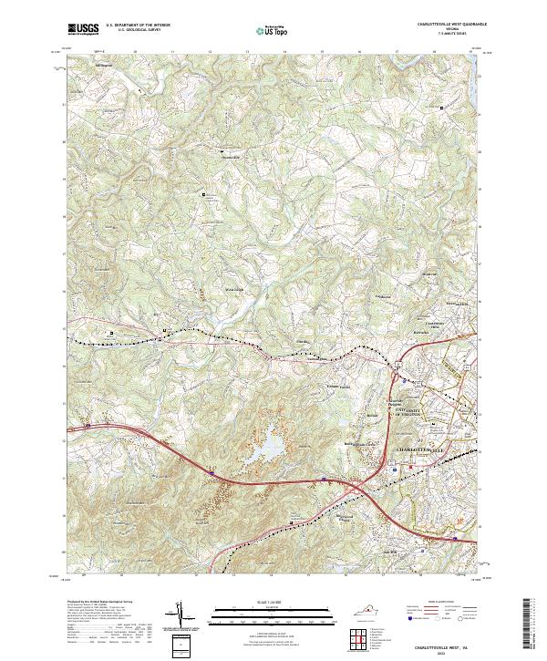
1964 Charlottesville West
Albemarle County, VA

1964 Waynesboro East
Albemarle County, VA

1965 Browns Cove
Albemarle County, VA

1967 Alberene
Albemarle County, VA

1967 Covesville
Albemarle County, VA

1967 Simeon
Albemarle County, VA

1972 Charlottesville East
Albemarle County, VA

1972 Charlottesville West
Albemarle County, VA

1972 Waynesboro East
Albemarle County, VA

1973 Charlottesville East
Albemarle County, VA

1973 Charlottesville West
Albemarle County, VA

1973 Waynesboro East
Albemarle County, VA

1977 Browns Cove
Albemarle County, VA

1977 Charlottesville East
Albemarle County, VA

1977 Charlottesville West
Albemarle County, VA

1977 Waynesboro East
Albemarle County, VA

1979 Alberene
Albemarle County, VA

1979 Covesville
Albemarle County, VA

1979 Simeon
Albemarle County, VA

1986 Charlottesville
Albemarle County, VA

1997 Browns Cove
Albemarle County, VA

1997 Charlottesville East
Albemarle County, VA

1997 Charlottesville West
Albemarle County, VA

1997 Waynesboro East
Albemarle County, VA

1999 Covesville
Albemarle County, VA

2022 Alberene
Albemarle County, VA

2022 Browns Cove
Albemarle County, VA

2022 Charlottesville East
Albemarle County, VA
2022 Charlottesville West
Albemarle County, VA

2022 Covesville
Albemarle County, VA

2022 Simeon
Albemarle County, VA

2022 Waynesboro East
Albemarle County, VA