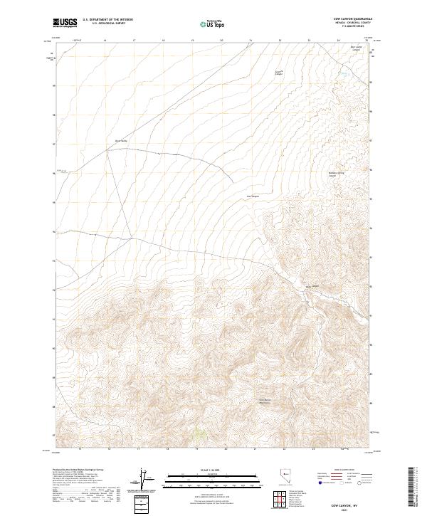
2021 Map of Cow Canyon
USGS Topo · Published 2021About this map
Clan Alpine Mountains dominate the southern half of this landscape, rising sharply from the eastern edge of the Dixie Valley. This 2021 study by the U.S. Geological Survey illustrates the stark transition between the valley floor and the complex drainage networks of the high desert. A series of dramatic cuts, including Cow Canyon, Deep Canyon, and Meadow Spring Canyon, define the eastern slopes. Near the northern boundary, Willow Cr flows through the reaches of Deer Lodge Canyon and Granite Canyon. While modern infrastructure is sparse, the presence of E Valley Rd following the mountain's base suggests a long-standing corridor for movement through this arid part of Churchill County.
Find a feature on this map
15 named features on this map. Tap any name to fly to it.
Don’t see what you’re looking for? This feature index may not catch every label — zoom into the map to look around manually.
Map Details
Editions of this 2021 Cow Canyon Map
This is the sole edition of this map. No revisions or reprints were ever made.
Other maps of this area

1908 · Carson Sink
USGS Topo · 1:250,000

1910 · Carson Sink
USGS Topo · 1:250,000

1955 · Millett
USGS Topo · 1:250,000

1957 · Reno
USGS Topo · 1:250,000

1959 · Reno
USGS Topo · 1:250,000

1959 · Millett
USGS Topo · 1:250,000

1960 · Reno
USGS Topo · 1:250,000

1966 · Clan Alpine Ranch
USGS Topo · 1:62,500

1966 · Humboldt Salt Marsh
USGS Topo · 1:62,500

1966 · Dixie Hot Springs
USGS Topo · 1:62,500