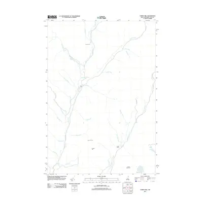
2012 Map of Cowen Hill
USGS Topo · Published 2012About this map
Indian Stream and its numerous tributaries, including W Br Indian Stream and Middle Br Indian Stream, dominate this remote drainage basin in the northern reaches of Coos County. The landscape is defined by its seasonal and logging camps, such as Holden Camp and Depot Camp, which are connected by a network of gravel routes like Indian Stream Rd and Perry Rd. These settlements reflect the region's enduring reliance on the timber industry and backcountry recreation. To the south, the terrain rises toward the summit of Cowen Hill, while Perry Stream flows through the eastern corridor past Lamb Valley. Significant water features like Terrell Pond and the tucked-away Round Pond serve as vital landmarks within the dense forest cover, providing essential orientation for those navigating the high-country brooks.
Find a feature on this map
40 named features on this map. Tap any name to fly to it.
Don’t see what you’re looking for? This feature index may not catch every label — zoom into the map to look around manually.
Map Details
Editions of this 2012 Cowen Hill Map
This is the sole edition of this map. No revisions or reprints were ever made.
Other maps of this area

1925 · Indian Stream
USGS Topo · 1:48,000

1926 · Indian Stream
USGS Topo · 1:62,500

1927 · Indian Stream
USGS Topo · 1:62,500

1927 · Moose Bog
USGS Topo · 1:48,000

1927 · Second Lake
USGS Topo · 1:62,500

1931 · Moose Bog
USGS Topo · 1:62,500

1932 · Second Lake
USGS Topo · 1:62,500

1949 · Jackman
USGS Topo · 1:250,000

1963 · Jackman
USGS Topo · 1:250,000

1966 · Sherbrooke
USGS Topo · 1:250,000