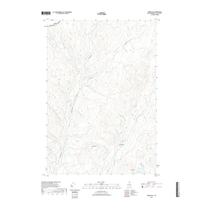
2018 Map of Cowen Hill
USGS Topo · Published 2018About this map
Covell Mtn and Cowen Hill define the high ground of this northern New Hampshire landscape near the international border. The territory is dominated by the intricate drainage systems of Indian Stream and Perry Stream, which are fed by numerous smaller tributaries such as Roaring Brook and Teapot Brook. In the southern portion of the map, Lamb Valley and Coop Brook Bog indicate the complex wetland environments that exist between the ridges. Settlement is extremely sparse, with human activity primarily represented by logging or access routes like Indian Stream Rd and E Branch Rd. The presence of Trestle Brook suggests the legacy of historical transport infrastructure through these steep valleys. This survey captures a pocket of Coos County where the wilderness of the United States-Canada border remains the primary characteristic of the land.
Find a feature on this map
36 named features on this map. Tap any name to fly to it.
Don’t see what you’re looking for? This feature index may not catch every label — zoom into the map to look around manually.
Map Details
Editions of this 2018 Cowen Hill Map
This is the sole edition of this map. No revisions or reprints were ever made.
Other maps of this area

1925 · Indian Stream
USGS Topo · 1:48,000

1926 · Indian Stream
USGS Topo · 1:62,500

1927 · Indian Stream
USGS Topo · 1:62,500

1927 · Moose Bog
USGS Topo · 1:48,000

1927 · Second Lake
USGS Topo · 1:62,500

1931 · Moose Bog
USGS Topo · 1:62,500

1932 · Second Lake
USGS Topo · 1:62,500

1949 · Jackman
USGS Topo · 1:250,000

1963 · Jackman
USGS Topo · 1:250,000

1966 · Sherbrooke
USGS Topo · 1:250,000