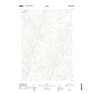
2021 Map of Cowen Hill
USGS Topo · Published 2021About this map
The northern reaches of the Canada United States of America border define the high topography of this North Country landscape. Centered on the rugged drainages of the Indian Stream and its tributaries, the map shows a wilderness area characterized by significant elevation changes between peaks like Cowen Hill and Covell Mtn. The hydrology of the region is exceptionally detailed, tracing the complex network of mountain brooks such as Cascade Brook, Roaring Brook, and Trestle Brook as they feed into larger water bodies. Local transport is limited to a few secondary corridors, most notably Indian Stream Rd and Round Pond Rd, which provide access to interior features like Terrell Pond and Coon Brook Bog. This map captures a remote section of Coos County as it appeared in 2021, showing the dense forest and drainage patterns of the upper Connecticut River watershed.
Find a feature on this map
37 named features on this map. Tap any name to fly to it.
Don’t see what you’re looking for? This feature index may not catch every label — zoom into the map to look around manually.
Map Details
Editions of this 2021 Cowen Hill Map
This is the sole edition of this map. No revisions or reprints were ever made.
Other maps of this area

1925 · Indian Stream
USGS Topo · 1:48,000

1926 · Indian Stream
USGS Topo · 1:62,500

1927 · Indian Stream
USGS Topo · 1:62,500

1927 · Moose Bog
USGS Topo · 1:48,000

1927 · Second Lake
USGS Topo · 1:62,500

1931 · Moose Bog
USGS Topo · 1:62,500

1932 · Second Lake
USGS Topo · 1:62,500

1949 · Jackman
USGS Topo · 1:250,000

1963 · Jackman
USGS Topo · 1:250,000

1966 · Sherbrooke
USGS Topo · 1:250,000