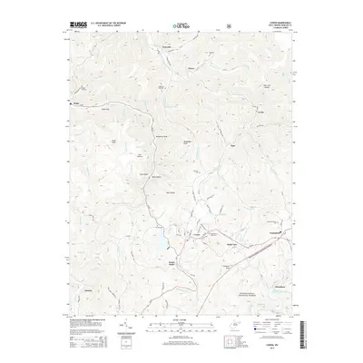
2014 Map of Cowen
USGS Topo · Published 2014About this map
Cowen serves as a central hub in this Appalachian landscape, where the Birch River carves a deep path through the highlands of Webster County. The region is defined by its numerous small hollows and runs, such as Coal Hollow and Slabcamp Run, reflecting a topography that has long dictated the layout of local infrastructure and settlement. Small communities like Upperglade, Glade View, and Halo are linked by winding routes like WV-20, which follows the contours of the valley floor.
Find a feature on this map
99 named features on this map. Tap any name to fly to it.
Don’t see what you’re looking for? This feature index may not catch every label — zoom into the map to look around manually.
Map Details
Editions of this 2014 Cowen Map
This is the sole edition of this map. No revisions or reprints were ever made.
Other maps of this area

1889 · Nicholas
USGS Topo · 1:125,000

1891 · Nicholas
USGS Topo · 1:125,000

1891 · Huntersville
USGS Topo · 1:125,000

1893 · Buckhannon
USGS Topo · 1:125,000

1893 · Sutton
USGS Topo · 1:125,000

1894 · Huntersville
USGS Topo · 1:125,000

1896 · Buckhannon
USGS Topo · 1:125,000

1897 · Buckhannon
USGS Topo · 1:125,000

1901 · Nicholas
USGS Topo · 1:125,000

1908 · Sutton
USGS Topo · 1:48,000