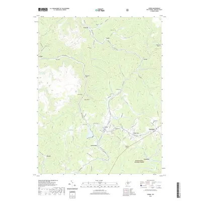
2019 Map of Cowen
USGS Topo · Published 2019About this map
The Birch River carves a deep path through the north-central portion of this Webster County landscape, where small hamlets like Wainville, Boggs, and Arcola trace the water's edge. This 2019 survey documents a region defined by its rugged drainages and several family and community burial sites, including the Oddfellows Cem and Handschumacher Cem near Upperglade. Further south, the terrain descends toward the Monongahela National Forest, with Cowen and Welch Glade serving as central points of activity.
Find a feature on this map
106 named features on this map. Tap any name to fly to it.
Don’t see what you’re looking for? This feature index may not catch every label — zoom into the map to look around manually.
Map Details
Editions of this 2019 Cowen Map
This is the sole edition of this map. No revisions or reprints were ever made.
Other maps of this area

1889 · Nicholas
USGS Topo · 1:125,000

1891 · Nicholas
USGS Topo · 1:125,000

1891 · Huntersville
USGS Topo · 1:125,000

1893 · Buckhannon
USGS Topo · 1:125,000

1893 · Sutton
USGS Topo · 1:125,000

1894 · Huntersville
USGS Topo · 1:125,000

1896 · Buckhannon
USGS Topo · 1:125,000

1897 · Buckhannon
USGS Topo · 1:125,000

1901 · Nicholas
USGS Topo · 1:125,000

1908 · Sutton
USGS Topo · 1:48,000