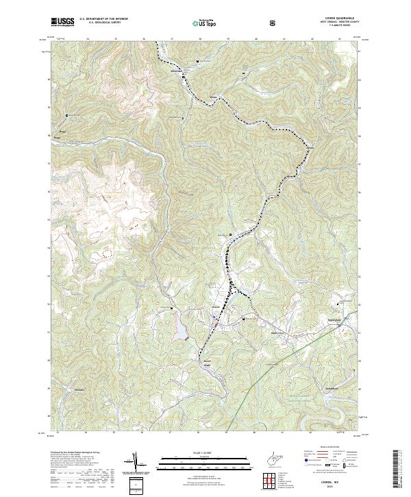
2023 Map of Cowen
USGS Topo · Published 2023About this map
Cowen serves as the central hub of this West Virginia landscape, where a dense network of local roads like Webster Rd and Gauley Ave converge in a valley defined by Big Ditch Run. The settlement pattern follows the intricate drainage of the Birch River and Laurel Creek, with small communities such as Upperglade, Arcola, and Wainville tucked into the hollows. The presence of numerous small, family-named burial grounds, including the McElwain Family Cem and Green Weese Cem, indicates a long-standing generational connection to these hillsides. To the southeast, the terrain shifts into the protected expanse of the Monongahela National Forest near Donaldson, where Holcomb Creek and the Williams River shape the deep woods. This 2023 survey captures the area's transition from clustered residential valleys to the high, forested ridges typical of the Allegheny Highlands.
Find a feature on this map
108 named features on this map. Tap any name to fly to it.
Don’t see what you’re looking for? This feature index may not catch every label — zoom into the map to look around manually.
Map Details
Editions of this 2023 Cowen Map
This is the sole edition of this map. No revisions or reprints were ever made.
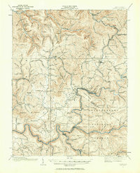
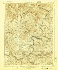
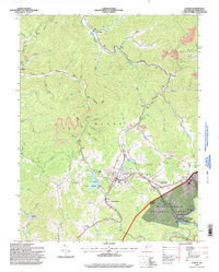
Historical Maps of Upperglade Through Time
5 maps found