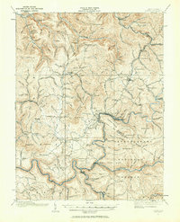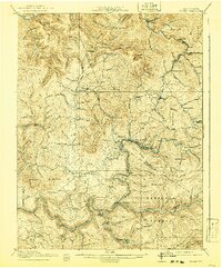
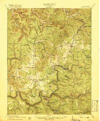
1917 Map of Cowen
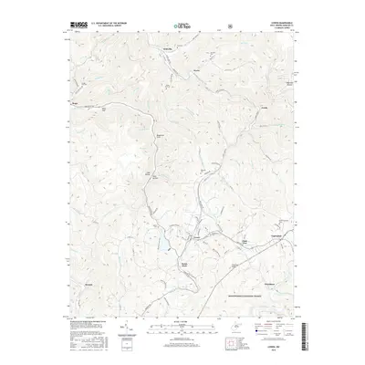
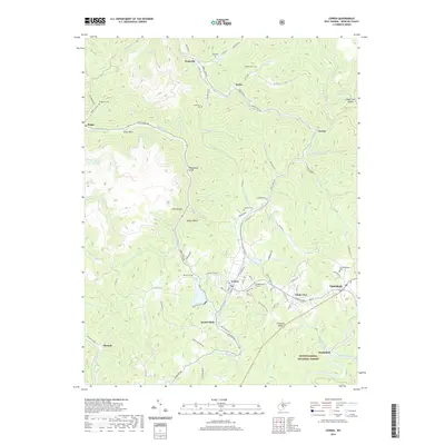
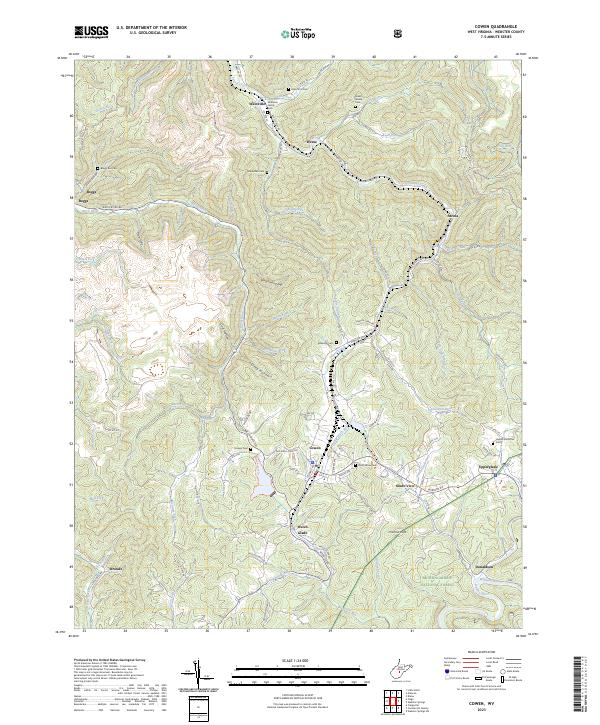
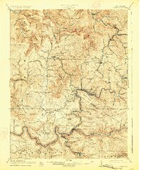
USGS Topo · Published 1941About this map
Cowen serves as a central hub in this West Virginia landscape, where the Baltimore and Ohio railroad meets the timber operations of the Cherry River Boom and Lumber Co. The map documents a transition in the early twentieth century as the industrial presence of Gauley Mills and Coal Siding sit alongside a dense network of rural one-room schoolhouses like Pine Grove School and Locust Grove School. This region, crossing the Webster and Nicholas county lines, is defined by the winding paths of the Gauley River and Birch River. The topography reveals established settlements such as Allingdale and Craigsville, while more remote post offices like Marcus PO and Woodbine PO suggest the scattered nature of community life before the full maturation of the Monongahela National Forest.
Find a feature on this map
85 named features on this map. Tap any name to fly to it.
Don’t see what you’re looking for? This feature index may not catch every label — zoom into the map to look around manually.
Map Details
Editions of this 1917 Cowen Map
3 editions found
Historical Maps of Craigsville Through Time
9 maps found