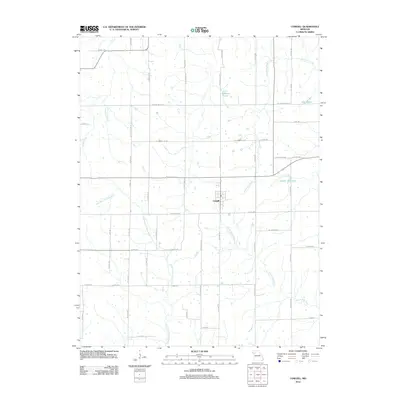
2012 Map of Cowgill
USGS Topo · Published 2012About this map
Cowgill serves as the central hub of this Missouri agricultural landscape, where the grid of rural roads reveals the persistent structure of local land ownership. The terrain is defined by the winding course of the East Fork Crooked River and several significant tributaries, including North Mud Creek and South Mud Creek. These waterways dictate the placement of local thoroughfares like SE Soo Line Dr and SE Rock Island Rd, whose names preserve the memory of the region's historic rail corridors. Small bodies of water such as Creason Lake, Mann Lake, and Bunker Hill Lake dot the countryside, providing local landmarks for genealogists tracing farmstead locations. The map detail reflects a modern rural environment where historic survey lines and natural drainage systems continue to shape the community's layout.
Find a feature on this map
57 named features on this map. Tap any name to fly to it.
Don’t see what you’re looking for? This feature index may not catch every label — zoom into the map to look around manually.
Map Details
Editions of this 2012 Cowgill Map
This is the sole edition of this map. No revisions or reprints were ever made.
Other maps of this area

1889 · Lexington
USGS Topo · 1:125,000

1894 · Independence
USGS Topo · 1:125,000

1924 · Polo
USGS Topo · 1:62,500

1924 · Braymer
USGS Topo · 1:62,500

1950 · Kansas City
USGS Topo · 1:250,000

1953 · Moberly
USGS Topo · 1:250,000

1954 · Kansas City
USGS Topo · 1:250,000

1954 · Moberly
USGS Topo · 1:250,000

1956 · Kansas City
USGS Topo · 1:250,000

1957 · Moberly
USGS Topo · 1:250,000