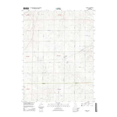
2015 Map of Cowgill
USGS Topo · Published 2015About this map
Cowgill serves as the central hub of this Missouri landscape, situated near the boundary where Caldwell County meets Ray County. The town is flanked by a network of drainage systems, including Log Cr and Crabapple Cr, which define the undulating terrain of the region. Local history is anchored by the Cowgill Cemetery just south of the main settlement and the McVeigh Cemetery further west, providing essential points of interest for genealogical research.
Find a feature on this map
55 named features on this map. Tap any name to fly to it.
Don’t see what you’re looking for? This feature index may not catch every label — zoom into the map to look around manually.
Map Details
Editions of this 2015 Cowgill Map
This is the sole edition of this map. No revisions or reprints were ever made.
Other maps of this area

1889 · Lexington
USGS Topo · 1:125,000

1894 · Independence
USGS Topo · 1:125,000

1924 · Polo
USGS Topo · 1:62,500

1924 · Braymer
USGS Topo · 1:62,500

1950 · Kansas City
USGS Topo · 1:250,000

1953 · Moberly
USGS Topo · 1:250,000

1954 · Kansas City
USGS Topo · 1:250,000

1954 · Moberly
USGS Topo · 1:250,000

1956 · Kansas City
USGS Topo · 1:250,000

1957 · Moberly
USGS Topo · 1:250,000