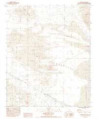
1983 Map of Cowhole Mountain
USGS Topo · Published 1983About this map
Cowhole Mountain dominates the northern landscape of this Mojave Desert region, casting its shadow over the sweeping Sand Dunes and the vast expanse known as the Devils Playground. In the early 1980s, the human imprint on this arid environment is defined by infrastructure and survival, most notably at the small settlement of Sands, situated along the Union Pacific railroad line. The rail corridor follows a narrow path through the desert, protected in sections by a Levee against the infrequent but powerful flows of Kelso Wash.
Find a feature on this map
12 named features on this map. Tap any name to fly to it.
Don’t see what you’re looking for? This feature index may not catch every label — zoom into the map to look around manually.
Map Details
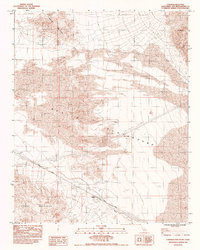
Editions of this 1983 Cowhole Mountain Map
2 editions found
Other maps of this area

1910 · Ivanpah
USGS Topo · 1:250,000

1912 · Ivanpah
USGS Topo · 1:250,000

1933 · Avawatz Mountains
USGS Topo · 1:250,000

1942 · Ivanpah
USGS Topo · 1:250,000

1942 · Amboy
USGS Topo · 1:250,000

1943 · Amboy
USGS Topo · 1:250,000

1947 · Trona
USGS Topo · 1:250,000

1947 · Kingman
USGS Topo · 1:250,000

1948 · Kingman
USGS Topo · 1:250,000

1948 · Trona
USGS Topo · 1:250,000