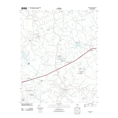
2011 Map of Cowpens
USGS Topo · Published 2011About this map
Thicketty Mountain and the watercourses of the Pacolet River basin define this northern South Carolina landscape as it appeared in the early 21st century. The map centers on Cowpens, illustrating a community interwoven with residential pockets like Bellview Acres and Clearview Heights. Historical industry and rural legacy are visible through sites like Mayo Mills on Island Creek, while a significant number of family and community burial grounds, including the Scruggs Cemetery and New Pleasant Cemetery, provide vital geographic markers for genealogists.
Find a feature on this map
194 named features on this map. Tap any name to fly to it.
Don’t see what you’re looking for? This feature index may not catch every label — zoom into the map to look around manually.
Map Details
Editions of this 2011 Cowpens Map
This is the sole edition of this map. No revisions or reprints were ever made.
Other maps of this area

1909 · Gaffney
USGS Topo · 1:62,500

1941 · Spartanburg
USGS Topo · 1:250,000

1947 · Spartanburg
USGS Topo · 1:62,500

1949 · Spartanburg
USGS Topo · 1:24,000

1949 · Spartanburg
USGS Topo · 1:62,500

1953 · Spartanburg
USGS Topo · 1:250,000

1953 · Charlotte
USGS Topo · 1:250,000

1954 · Charlotte
USGS Topo · 1:250,000

1959 · Cowpens
USGS Topo · 1:62,500

1960 · Charlotte
USGS Topo · 1:250,000