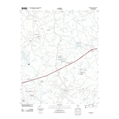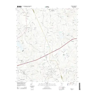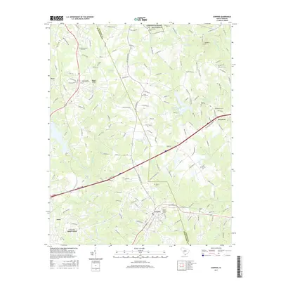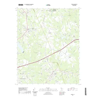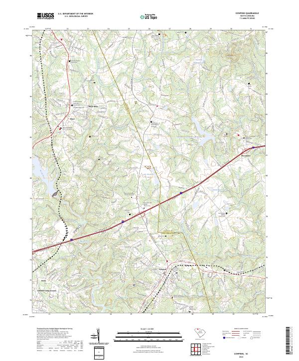
2024 Map of Cowpens
USGS Topo · Published 2024About this map
The Cowpens National Battlefield occupies the northern reaches of this landscape, marking a site of deep historical significance where the terrain transitions toward the Thickety Mtn foothills. The Pacolet River and its numerous tributaries, including Island Creek and Cherokee Creek, define the drainage patterns that shaped early settlement in this part of Spartanburg Co and Cherokee Co counties. Industrial and community hubs like Mayo Mills and Cowpens are connected by a dense network of local roads and the CSX Transportation line, reflecting a long-standing rail-and-mill economy.
Find a feature on this map
141 named features on this map. Tap any name to fly to it.
Don’t see what you’re looking for? This feature index may not catch every label — zoom into the map to look around manually.
Map Details
Editions of this 2024 Cowpens Map
This is the sole edition of this map. No revisions or reprints were ever made.
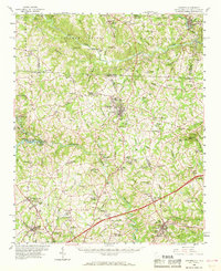
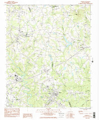
Historical Maps of Cowpens Through Time
7 maps found