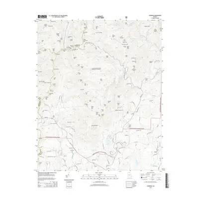
2014 Map of Cowrock
USGS Topo · Published 2014About this map
The boundary between Union and White counties runs along the high ridges of the Chattahoochee National Forest in this 2014 study. The landscape is defined by its numerous gaps and stamps, including Tesnatee Gap, Hogpen Gap, and the curiously named Lordamercy Cove. To the south, the settlement of Yonah sits near the foot of the mountains, surrounded by a high density of small family and community cemeteries such as Antioch Cem, Mt Pleasant Cem, and Mt Yonah Cem. The map illustrates the winding path of the Richard B Russell Scenic Hwy as it traverses the elevation from the valley floor to the high mountain passes. Waterways like the Chattahoochee River and Dukes Cr drain the southern slopes, providing a network of hollows that historically shaped the placement of local roads and farmsteads.
Find a feature on this map
188 named features on this map. Tap any name to fly to it.
Don’t see what you’re looking for? This feature index may not catch every label — zoom into the map to look around manually.
Map Details
Editions of this 2014 Cowrock Map
This is the sole edition of this map. No revisions or reprints were ever made.
Other maps of this area

1886 · Dahlonega
USGS Topo · 1:125,000

1892 · Dahlonega
USGS Topo · 1:125,000

1896 · Dahlonega
USGS Topo · 1:125,000

1903 · Dahlonega
USGS Topo · 1:125,000

1935 · Coosa Bald
USGS Topo · 1:24,000

1935 · Cowrock
USGS Topo · 1:24,000

1935 · Tray Mountain
USGS Topo · 1:24,000

1935 · Jacks Gap
USGS Topo · 1:24,000
1935 · Neels Gap
USGS Topo · 1:24,000

1938 · Cowrock
USGS Topo · 1:24,000