
1935 Map of Jacks Gap
USGS Topo · Published 1935About this map
Cherokee National Forest dominates this mid-1930s landscape, where the high ridges of the Blue Ridge form a natural boundary between Union and Towns counties. The survey captures a network of footpaths including the early Appalachian Trail, which snakes across summits like Brasstown Bald Mtn and Jacks Knob. Deep in the valleys, small rural outposts such as Town Creek Sch and Old Liberty Ch represent the scattered social centers for families living along Town Creek and its various tributaries. The terrain is defined by its steep gaps and namesake knobs, including Wolfpen Gap and Jacks Gap, which served as the primary transit points through the mountains before modern highway development. The map also traces the headwaters of the Nottely River, showing the drainage patterns of the southern Appalachians prior to major regional transformations by the Tennessee Valley Authority.
Find a feature on this map
54 named features on this map. Tap any name to fly to it.
Don’t see what you’re looking for? This feature index may not catch every label — zoom into the map to look around manually.
Map Details
Editions of this 1935 Jacks Gap Map
This is the sole edition of this map. No revisions or reprints were ever made.
Other maps of this area

1886 · Dahlonega
USGS Topo · 1:125,000

1892 · Dahlonega
USGS Topo · 1:125,000

1896 · Dahlonega
USGS Topo · 1:125,000

1903 · Dahlonega
USGS Topo · 1:125,000

1935 · Coosa Bald
USGS Topo · 1:24,000

1935 · Osborn
USGS Topo · 1:24,000

1935 · Cowrock
USGS Topo · 1:24,000

1935 · Tray Mountain
USGS Topo · 1:24,000
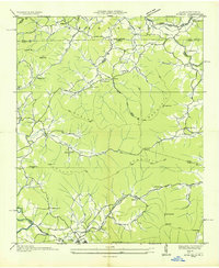
1935 · Gumlog
USGS Topo · 1:24,000
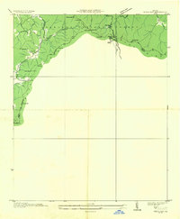
1935 · Neels Gap
USGS Topo · 1:24,000