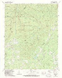
1988 Map of Cowrock
USGS Topo · Published 1988About this map
The Chattahoochee National Forest dominates this North Georgia landscape, where the Appalachian Trail follows the high ridges of the Blue Valley. This late-1980s survey documents the convergence of mountain heritage and conservation, specifically marking the Raven Cliffs Wilderness and the Camp Appalachian Wilderness. The southern portion of the sheet reveals a more settled valley floor around Loudsville, characterized by a network of local roads like Thurmond Road and small country churches such as Antioch Ch and Mt Pleasant Ch.
Find a feature on this map
146 named features on this map. Tap any name to fly to it.
Don’t see what you’re looking for? This feature index may not catch every label — zoom into the map to look around manually.
Map Details
Editions of this 1988 Cowrock Map
2 editions found
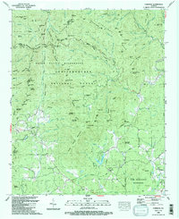
Other maps of this area

1886 · Dahlonega
USGS Topo · 1:125,000

1892 · Dahlonega
USGS Topo · 1:125,000

1896 · Dahlonega
USGS Topo · 1:125,000

1903 · Dahlonega
USGS Topo · 1:125,000

1935 · Coosa Bald
USGS Topo · 1:24,000

1935 · Cowrock
USGS Topo · 1:24,000

1935 · Tray Mountain
USGS Topo · 1:24,000

1935 · Jacks Gap
USGS Topo · 1:24,000
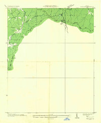
1935 · Neels Gap
USGS Topo · 1:24,000

1938 · Cowrock
USGS Topo · 1:24,000