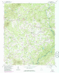
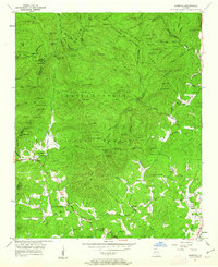
1964 Map of Leaf
USGS Topo · Published 1986About this map
Stovall Mill and the banks of the Chattahoochee River define this corner of the Georgia Piedmont, where the landscape transitions from the peaks of the Chattahoochee National Forest to the farm-dotted valleys of the south. The rural character of the 1960s is reflected in the high density of small community centers, including Kinseytown, Leaf, and Mossy Creek. The transportation and leisure patterns of the mid-century are evident in features like the Drive-in Theater and the County Landing Field located near Pink.
Find a feature on this map
71 named features on this map. Tap any name to fly to it.
Don’t see what you’re looking for? This feature index may not catch every label — zoom into the map to look around manually.
Map Details
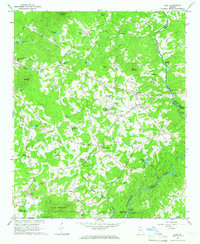
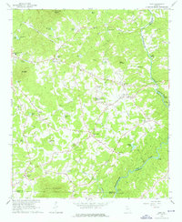
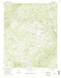
Editions of this 1964 Leaf Map
4 editions found
Other maps of this area

1886 · Dahlonega
USGS Topo · 1:125,000

1891 · Gainesville
USGS Topo · 1:125,000

1892 · Dahlonega
USGS Topo · 1:125,000

1896 · Dahlonega
USGS Topo · 1:125,000

1903 · Dahlonega
USGS Topo · 1:125,000

1935 · Cowrock
USGS Topo · 1:24,000

1938 · Cowrock
USGS Topo · 1:24,000
1950 · Cowrock
USGS Topo · 1:24,000

1951 · Cleveland
USGS Topo · 1:24,000
1952 · Cowrock
USGS Topo · 1:24,000