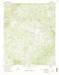
1964 Map of Leaf
USGS Topo · Published 1986About this map
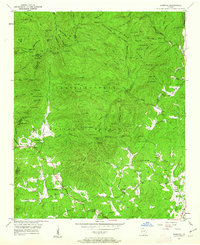
The Chattahoochee River defines the eastern boundary of this North Georgia landscape, winding past Smith Island and Buck Island near the historic Buck Shoals. This 1964 survey, updated with purple revisions from 1981, reveals a rural economy rooted in water power and community centers. Long-standing local landmarks like Stovall Mill and Rogers Mill sit along the tributaries, while small settlements such as Leaf, Kinseytown, and Leo are linked by Post Road and Circle Road. The map provides excellent genealogical detail through named family locations and community structures, including Dean Cem, Satterfield Store, and numerous rural congregations like Macedonia Ch and Union Grove Ch. Higher elevations such as Skitt Mountain and Leadpole Mountain overlook a terrain dotted with private ponds, reflecting the transition toward modern land use as seen at the Truett McConnell College campus.
Find a feature on this map
70 named features on this map. Tap any name to fly to it.
Don’t see what you’re looking for? This feature index may not catch every label — zoom into the map to look around manually.
Map Details
Editions of this 1964 Leaf Map
4 editions found
Other maps of this area

1886 · Dahlonega
USGS Topo · 1:125,000

1891 · Gainesville
USGS Topo · 1:125,000

1892 · Dahlonega
USGS Topo · 1:125,000

1896 · Dahlonega
USGS Topo · 1:125,000

1903 · Dahlonega
USGS Topo · 1:125,000

1935 · Cowrock
USGS Topo · 1:24,000

1938 · Cowrock
USGS Topo · 1:24,000
1950 · Cowrock
USGS Topo · 1:24,000

1951 · Cleveland
USGS Topo · 1:24,000
1952 · Cowrock
USGS Topo · 1:24,000