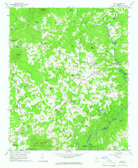
1964 Map of Leaf
USGS Topo · Published 1965About this map
The Chattahoochee River carves the eastern boundary of this mid-1960s landscape, passing through Buck Shoals and under the Sidney Lanier Bridge. The terrain is defined by the sharp elevations of Skitt Mountain and Tatum Mtn, while the valleys are dotted with small agricultural settlements like Leaf and Leo. This era shows a community rooted in local industry and faith, evidenced by sites like Stovall Mill and Rogers Mill alongside numerous rural sanctuaries including Macedonia Ch and Bethel Ch.
Find a feature on this map
69 named features on this map. Tap any name to fly to it.
Don’t see what you’re looking for? This feature index may not catch every label — zoom into the map to look around manually.
Map Details
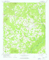
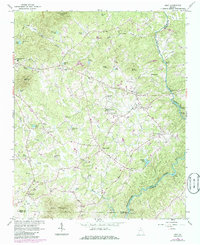
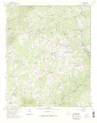
Editions of this 1964 Leaf Map
4 editions found
Other maps of this area

1886 · Dahlonega
USGS Topo · 1:125,000

1891 · Gainesville
USGS Topo · 1:125,000

1892 · Dahlonega
USGS Topo · 1:125,000

1896 · Dahlonega
USGS Topo · 1:125,000

1903 · Dahlonega
USGS Topo · 1:125,000

1935 · Cowrock
USGS Topo · 1:24,000

1938 · Cowrock
USGS Topo · 1:24,000
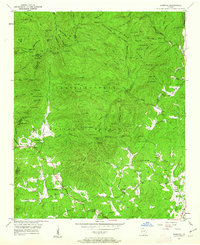
1950 · Cowrock
USGS Topo · 1:24,000

1951 · Cleveland
USGS Topo · 1:24,000
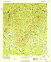
1952 · Cowrock
USGS Topo · 1:24,000