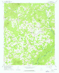
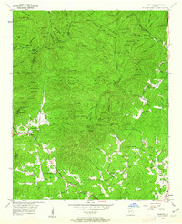
1964 Map of Leaf
USGS Topo · Published 1976About this map
Stovall Mill and Rogers Mill stand as markers of early industry in this portion of White County, where the Chattahoochee River winds past Smith Island and Buck Island. The landscape in the mid-1960s was a network of rural settlements like Leaf, Kinseytown, and Leo, connected by historical routes such as Post Road and Blue Ridge Road. The area's communal life is anchored by numerous country churches, including Macedonia Ch and Bethel Ch, alongside local landmarks like the Drive-in Theater and Truett McConnell College.
Find a feature on this map
70 named features on this map. Tap any name to fly to it.
Don’t see what you’re looking for? This feature index may not catch every label — zoom into the map to look around manually.
Map Details
Editions of this 1964 Leaf Map
4 editions found
Other maps of this area

1886 · Dahlonega
USGS Topo · 1:125,000

1891 · Gainesville
USGS Topo · 1:125,000

1892 · Dahlonega
USGS Topo · 1:125,000

1896 · Dahlonega
USGS Topo · 1:125,000

1903 · Dahlonega
USGS Topo · 1:125,000

1935 · Cowrock
USGS Topo · 1:24,000

1938 · Cowrock
USGS Topo · 1:24,000
1950 · Cowrock
USGS Topo · 1:24,000

1951 · Cleveland
USGS Topo · 1:24,000
1952 · Cowrock
USGS Topo · 1:24,000