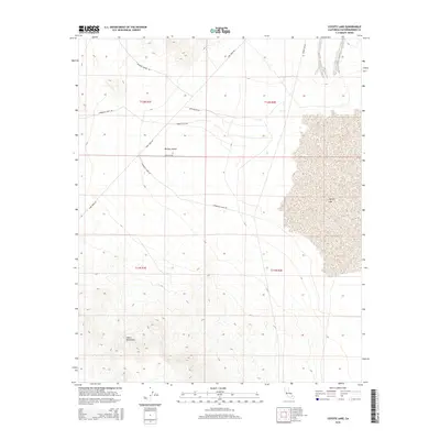
2015 Map of Coyote Lake
USGS Topo · Published 2015About this map
Coyote Lake dominates the eastern half of this arid landscape, its expansive dry bed serving as a central geographic fixture within the Mojave Desert. This 2015 survey reveals a network of desert roads and trails that speak to the area's history of mineral exploration and ranching. Access routes like Starbright Mine Rd, Motherlode Rd, and Shenks Ranch Rd crisscross the basin, connecting the flatlands to the elevations of the Calico Mountains in the south. The primary artery of Fort Irwin Rd cuts diagonally through the western sections, providing the modern link through this sparsely settled portion of San Bernardino County. The map is a valuable resource for tracing historical land use, from ranching outposts to the named mines that once drew prospectors into these high-desert mountains.
Find a feature on this map
14 named features on this map. Tap any name to fly to it.
Don’t see what you’re looking for? This feature index may not catch every label — zoom into the map to look around manually.
Map Details
Editions of this 2015 Coyote Lake Map
This is the sole edition of this map. No revisions or reprints were ever made.
Other maps of this area

1933 · Avawatz Mountains
USGS Topo · 1:250,000

1947 · Trona
USGS Topo · 1:250,000

1948 · Trona
USGS Topo · 1:250,000

1948 · Alvord Mountain
USGS Topo · 1:62,500

1948 · Lane Mountain
USGS Topo · 1:62,500

1951 · Alvord Mountain
USGS Topo · 1:62,500

1951 · Lane Mountain
USGS Topo · 1:62,500

1953 · San Bernardino
USGS Topo · 1:250,000

1953 · Yermo
USGS Topo · 1:24,000

1953 · Trona
USGS Topo · 1:250,000