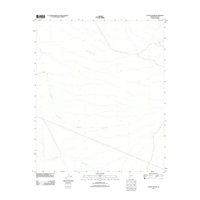
2011 Map of Coyote Water
USGS Topo · Published 2011About this map
Coyote Water stands as a vital desert landmark in the arid landscape of Yuma County, marking a localized water source within a network of ephemeral drainages. The hydrology of this region is defined by the expansive Coyote Wash, which meanders across the quadrangle from the northwest to the southeast, joined by tributary systems including La Jolla Wash in the southern portion of the sheet. The 2011 survey by the U.S. Geological Survey illustrates the complex alluvial patterns characteristic of the Arizona desert, where dry washes serve as primary topographical features and historical navigation points. The map details a landscape sparse in permanent settlement but defined by these seasonal watercourses, which dictate the placement of local roads and paths through the desert floor.
Find a feature on this map
3 named features on this map. Tap any name to fly to it.
Don’t see what you’re looking for? This feature index may not catch every label — zoom into the map to look around manually.
Map Details
Editions of this 2011 Coyote Water Map
This is the sole edition of this map. No revisions or reprints were ever made.
Other maps of this area

1942 · Yuma
USGS Topo · 1:250,000

1953 · Ajo
USGS Topo · 1:250,000

1954 · El Centro
USGS Topo · 1:250,000

1955 · El Centro
USGS Topo · 1:250,000

1957 · Ajo
USGS Topo · 1:250,000

1958 · Ajo
USGS Topo · 1:250,000

1958 · El Centro
USGS Topo · 1:250,000

1961 · El Centro
USGS Topo · 1:250,000

1962 · Ajo
USGS Topo · 1:250,000

1963 · Ajo
USGS Topo · 1:250,000