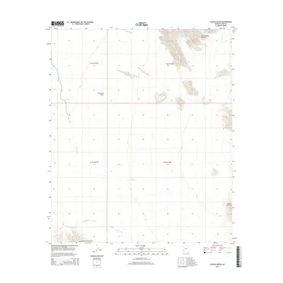
2014 Map of Coyote Water
USGS Topo · Published 2014About this map
Lechuguilla Desert terrain dominates this corner of Yuma County, where the stark topography of the Cabeza Prieta Mountains rises in the northeast. The map provides a look at the arid drainage systems of the region, specifically Coyote Wash and La Jolla Wash, which trace the low-lying basins between volcanic heights. To the south, the Sierra de la Lechuguilla and the isolated Tordillo Mountain define the horizon. The location of Coyote Water serves as a critical point of interest in this water-scarce landscape, suggesting the historical and ecological importance of natural catchments in the Arizona desert. The map captures the area's survey grid under the t12s r17w and t13s r16w townships, essential for tracing land records in this uninhabited portion of the state.
Find a feature on this map
11 named features on this map. Tap any name to fly to it.
Don’t see what you’re looking for? This feature index may not catch every label — zoom into the map to look around manually.
Map Details
Editions of this 2014 Coyote Water Map
This is the sole edition of this map. No revisions or reprints were ever made.
Other maps of this area

1942 · Yuma
USGS Topo · 1:250,000

1953 · Ajo
USGS Topo · 1:250,000

1954 · El Centro
USGS Topo · 1:250,000

1955 · El Centro
USGS Topo · 1:250,000

1957 · Ajo
USGS Topo · 1:250,000

1958 · Ajo
USGS Topo · 1:250,000

1958 · El Centro
USGS Topo · 1:250,000

1961 · El Centro
USGS Topo · 1:250,000

1962 · Ajo
USGS Topo · 1:250,000

1963 · Ajo
USGS Topo · 1:250,000