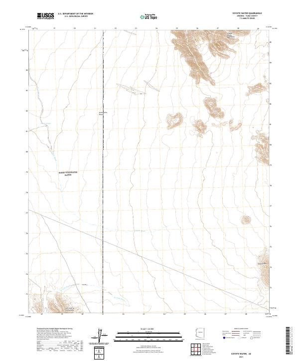
2021 Map of Coyote Water
USGS Topo · Published 2021About this map
The Lechuguilla Desert dominates this arid landscape, characterized by drainage systems that define the movement of water across the basin. The presence of Coyote Water stands out as a critical point of interest in this dry environment, situated near the head of the ephemeral Coyote Wash. The map reveals a corridor of low-lying terrain flanked by the prominent Cabeza Prieta Mountains to the northeast and the Sierra de la Lechuguilla to the southwest. This geographic arrangement highlights the natural basins of the Sonoran region, where seasonal flows like La Jolla Wash carve through the desert floor. The isolation of peaks such as Tordillo Mtn suggests a topography of scattered, high-relief islands within a sea of sand and alluvial fans.
Find a feature on this map
11 named features on this map. Tap any name to fly to it.
Don’t see what you’re looking for? This feature index may not catch every label — zoom into the map to look around manually.
Map Details
Editions of this 2021 Coyote Water Map
This is the sole edition of this map. No revisions or reprints were ever made.
Other maps of this area

1942 · Yuma
USGS Topo · 1:250,000

1953 · Ajo
USGS Topo · 1:250,000

1954 · El Centro
USGS Topo · 1:250,000

1955 · El Centro
USGS Topo · 1:250,000

1957 · Ajo
USGS Topo · 1:250,000

1958 · Ajo
USGS Topo · 1:250,000

1958 · El Centro
USGS Topo · 1:250,000

1961 · El Centro
USGS Topo · 1:250,000

1962 · Ajo
USGS Topo · 1:250,000

1963 · Ajo
USGS Topo · 1:250,000