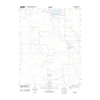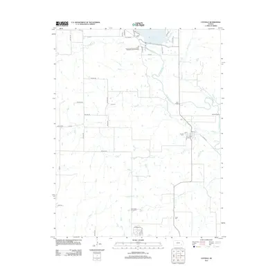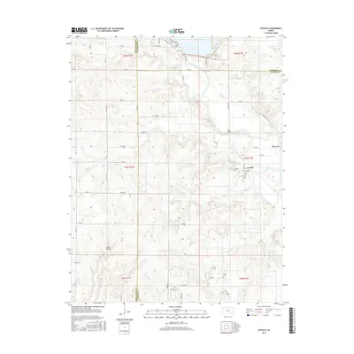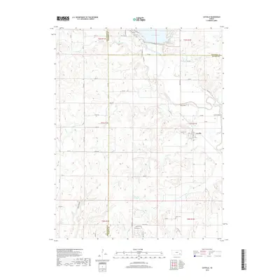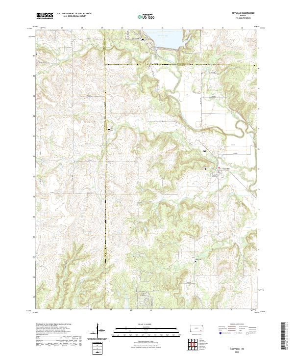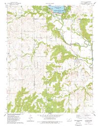
1975 Map of Coyville
USGS Topo · Published 1978About this map
The Verdigris River valley defines this mid-1970s landscape, serving as the primary geographic axis where Coyville is established along its southern banks. This period shows a rural economy in transition, where an Old Railroad Grade indicates a shifting transportation network while an active Oil Field and scattered Oil Wells demonstrate the region's ongoing reliance on petroleum extraction. To the north, the presence of Toronto Lake and Toronto State Park marks a significant recreational development in the floodplain, contrasting with the quiet agricultural settlements of Pleasant Grove and Salt Springs. Genealogists will find notable value in the various family and community burial sites, including Carlisle Cem, Hunter Cem, and Caley Cem, which anchor the map's rural history across the Wilson and Woodson County lines.
Find a feature on this map
31 named features on this map. Tap any name to fly to it.
Don’t see what you’re looking for? This feature index may not catch every label — zoom into the map to look around manually.
Map Details
Editions of this 1975 Coyville Map
This is the sole edition of this map. No revisions or reprints were ever made.
Historical Maps of Coyville Through Time
6 maps found