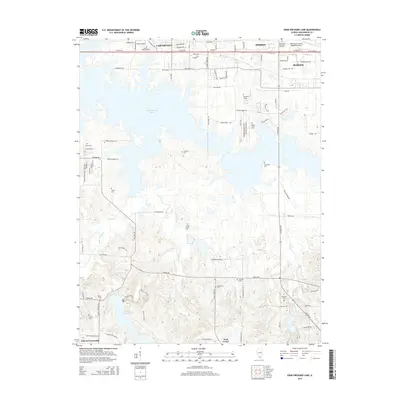
2015 Map of Crab Orchard Lake
USGS Topo · Published 2015About this map
Crab Orchard Lake dominates this Williamson County landscape, serving as a massive water body that reshaped the geography south of Carterville and Herrin. To the north, the corridor along Old Route 13 and W DeYoung St shows the modern expansion of Marion, anchored by the Williamson County Regional Airport and John A Logan College. The terrain transitions from these developed hubs into the protected environments of the Crab Orchard National Wildlife Refuge, where numerous smaller streams like Pigeon Creek and Wolf Creek feed into the primary reservoir.
Find a feature on this map
77 named features on this map. Tap any name to fly to it.
Don’t see what you’re looking for? This feature index may not catch every label — zoom into the map to look around manually.
Map Details
Editions of this 2015 Crab Orchard Lake Map
This is the sole edition of this map. No revisions or reprints were ever made.
Other maps of this area

1909 · West Frankfort
USGS Topo · 1:62,500

1910 · Herrin
USGS Topo · 1:62,500

1922 · Carbondale
USGS Topo · 1:62,500

1925 · Marion
USGS Topo · 1:62,500

1936 · Herrin
USGS Topo · 1:62,500

1940 · Marion
USGS Topo · 1:62,500

1941 · Carbondale
USGS Topo · 1:62,500

1941 · West Frankfort
USGS Topo · 1:62,500

1949 · Paducah
USGS Topo · 1:250,000

1950 · Paducah
USGS Topo · 1:250,000