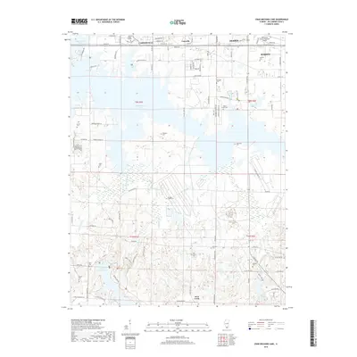
2018 Map of Crab Orchard Lake
USGS Topo · Published 2018About this map
Crab Orchard Lake dominates this Williamson County landscape, serving as a focal point between the growing communities of Carterville, Herrin, and Marion. The southern portion of the map transitions into a more intricate network of smaller water bodies and drainages, including Devils Kitchen Lake and Herrin Lake. Numerous family and community burial grounds, such as McAlpin Cem near the Williamson County Regional Airport and Grassy Creek Cem further south, provide vital points of reference for genealogists tracing local lineage. Educational and transit hubs are clearly established here, anchored by John A Logan College in the northwest. The presence of multiple recreation trails like the Wild Turkey Trail and Rocky Bluff Trail indicates the area's development as a contemporary public resource while maintaining its traditional rural boundaries.
Find a feature on this map
74 named features on this map. Tap any name to fly to it.
Don’t see what you’re looking for? This feature index may not catch every label — zoom into the map to look around manually.
Map Details
Editions of this 2018 Crab Orchard Lake Map
This is the sole edition of this map. No revisions or reprints were ever made.
Other maps of this area

1909 · West Frankfort
USGS Topo · 1:62,500

1910 · Herrin
USGS Topo · 1:62,500

1922 · Carbondale
USGS Topo · 1:62,500

1925 · Marion
USGS Topo · 1:62,500

1936 · Herrin
USGS Topo · 1:62,500

1940 · Marion
USGS Topo · 1:62,500

1941 · Carbondale
USGS Topo · 1:62,500

1941 · West Frankfort
USGS Topo · 1:62,500

1949 · Paducah
USGS Topo · 1:250,000

1950 · Paducah
USGS Topo · 1:250,000