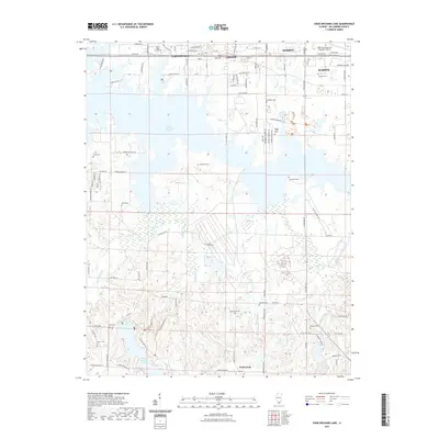
2021 Map of Crab Orchard Lake
USGS Topo · Published 2021About this map
John A Logan College sits at the northern edge of this Illinois landscape, marking a point of transition between the urban corridors of Carterville and the expansive waters of Crab Orchard Lake. The map reveals a complex interface of land and water, where the reservoir's fingers reach into the surrounding countryside, creating distinctive landmarks like Propeller Point. To the south, the terrain becomes more intricate near the shores of Devils Kitchen Lake, where numerous small tributaries like Grassy Creek and Wolf Creek drain the undulating hills of Williamson County.
Find a feature on this map
74 named features on this map. Tap any name to fly to it.
Don’t see what you’re looking for? This feature index may not catch every label — zoom into the map to look around manually.
Map Details
Editions of this 2021 Crab Orchard Lake Map
This is the sole edition of this map. No revisions or reprints were ever made.
Other maps of this area

1909 · West Frankfort
USGS Topo · 1:62,500

1910 · Herrin
USGS Topo · 1:62,500

1922 · Carbondale
USGS Topo · 1:62,500

1925 · Marion
USGS Topo · 1:62,500

1936 · Herrin
USGS Topo · 1:62,500

1940 · Marion
USGS Topo · 1:62,500

1941 · Carbondale
USGS Topo · 1:62,500

1941 · West Frankfort
USGS Topo · 1:62,500

1949 · Paducah
USGS Topo · 1:250,000

1950 · Paducah
USGS Topo · 1:250,000