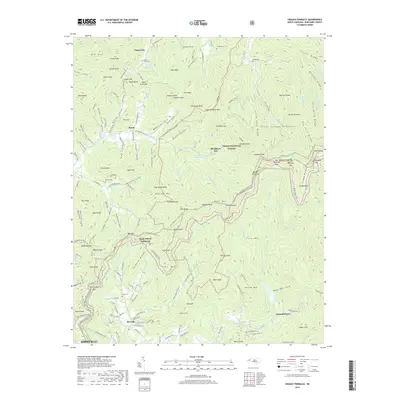
2019 Map of Craggy Pinnacle
USGS Topo · Published 2019About this map
The high ridges of the Pisgah National Forest dominate this topography, where the Blue Ridge Parkway winds along the eastern and southern peaks. In the lower elevations, small communities like Riceville and Beech occupy the valley floors, connected by historic mountain routes. The land is marked by numerous family and community burial grounds, including Paint Fork Cem and Webb Cem, reflecting a long history of local settlement. Water management is evident at the Woodfin Reservoir, while the MTS Mountains to Sea Trail follows the high ground near Blackberry Inn. This 2019 survey documents a landscape where recreational infrastructure and conservation lands interface with established residential pockets like Summerhaven.
Find a feature on this map
173 named features on this map. Tap any name to fly to it.
Don’t see what you’re looking for? This feature index may not catch every label — zoom into the map to look around manually.
Map Details
Editions of this 2019 Craggy Pinnacle Map
This is the sole edition of this map. No revisions or reprints were ever made.
Other maps of this area

1894 · Asheville
USGS Topo · 1:125,000

1900 · Mount Mitchell
USGS Topo · 1:125,000

1901 · Asheville
USGS Topo · 1:125,000

1902 · Mount Mitchell
USGS Topo · 1:125,000

1935 · Montreat
USGS Topo · 1:24,000

1935 · Black Brothers
USGS Topo · 1:24,000

1935 · Black Mountain
USGS Topo · 1:24,000

1935 · Barnardsville
USGS Topo · 1:24,000

1935 · Craggy Pinnacle
USGS Topo · 1:24,000

1936 · Weaverville
USGS Topo · 1:24,000