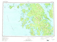
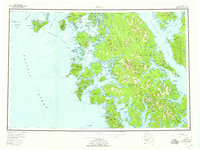
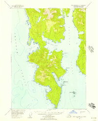
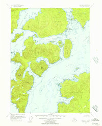
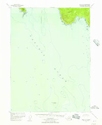
1957 Map of Craig
USGS Topo · Published 1973About this map
Prince of Wales Island dominates this mid-century coastal survey, reflecting a maritime landscape defined by fishing, cannery operations, and mineral extraction. The principal settlements of Craig and Klawock serve as the primary hubs, while smaller outposts like Waterfall and Meyers Chuck point to the era's reliance on secluded coastal harbors. The map reveals the intricate network of the Alexander Archipelago, tracing the complex shorelines of Bucarelli Bay, Kasaan Bay, and Tlevak Strait.
Find a feature on this map
76 named features on this map. Tap any name to fly to it.
Don’t see what you’re looking for? This feature index may not catch every label — zoom into the map to look around manually.
Map Details
Editions of this 1957 Craig Map
3 editions found

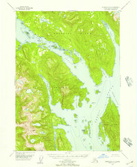
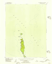
Other maps of this area

1948 · Craig A-4
USGS Topo · 1:63,360

1948 · Petersburg A-6
USGS Topo · 1:63,360
1948 · Petersburg A-1
USGS Topo · 1:63,360
1948 · Dixon Entrance D-5
USGS Topo · 1:63,360

1948 · Petersburg A-2
USGS Topo · 1:63,360
1948 · Port Alexander A-1
USGS Topo · 1:63,360
1948 · Craig B-5
USGS Topo · 1:63,360
1948 · Craig A-5
USGS Topo · 1:63,360

1948 · Dixon Entrance D-2
USGS Topo · 1:63,360

1948 · Prince Rupert D-6
USGS Topo · 1:63,360