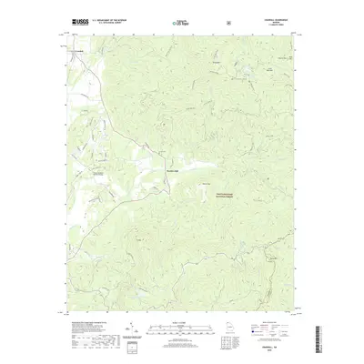
2020 Map of Crandall
USGS Topo · Published 2020About this map
Hasslers Mill sits at the heart of this North Georgia mountain landscape, where the waters of Holly Cr and Mill Cr converge. The terrain is defined by the high elevations of the Chattahoochee National Forest, including the prominent summit of Ft Mtn to the south and Grassy Mtn to the north, the latter featuring the Grassy Mtn Tower. Local infrastructure is marked by several historical corridors, such as the L & N railroad line running through Crandall and numerous forest service roads like Old CCC Camp Rd.
Find a feature on this map
71 named features on this map. Tap any name to fly to it.
Don’t see what you’re looking for? This feature index may not catch every label — zoom into the map to look around manually.
Map Details
Editions of this 2020 Crandall Map
This is the sole edition of this map. No revisions or reprints were ever made.
Other maps of this area

1886 · Dalton
USGS Topo · 1:125,000

1892 · Dalton
USGS Topo · 1:125,000

1897 · Dalton
USGS Topo · 1:125,000

1911 · Cohutta Mtn
USGS Topo · 1:62,500

1913 · Cohutta Mtn.
USGS Topo · 1:62,500

1914 · Talking Rock
USGS Topo · 1:62,500

1916 · Talking Rock
USGS Topo · 1:62,500
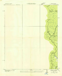
1935 · Hemp Top
USGS Topo · 1:24,000

1938 · Chatsworth
USGS Topo · 1:48,000

1943 · Dalton
USGS Topo · 1:62,500