2024 Map of Crary
USGS Topo · Published 2024About this map
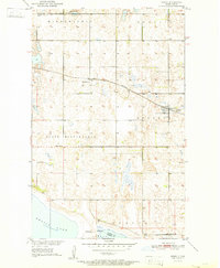
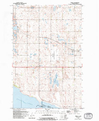
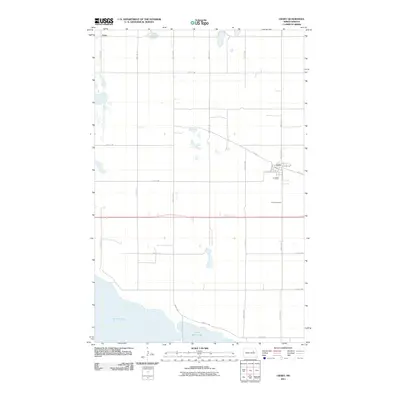
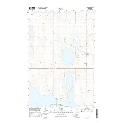
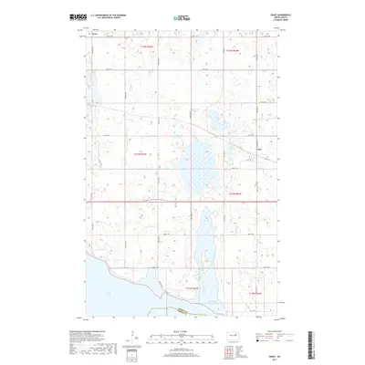
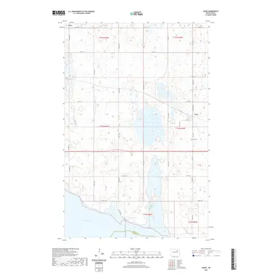
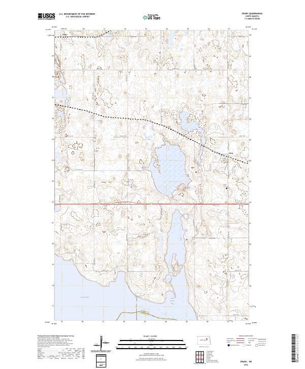
Crary serves as the primary settlement in this section of Ramsey County, situated just north of the shifting shoreline of Devils Lake. The landscape is defined by the complex glacial topography of the Prairie Pothole Region, where numerous small wetlands and basins are scattered across the township lines of T154N and T153N. A significant portion of the local terrain is dedicated to conservation at the Ramsey County Waterfowl Production Area, reflecting the region's importance for migratory bird habitats. Further south, the map captures the transition to East Devils Lake, where the rising water levels characteristic of this terminal lake basin have historically reshaped the surrounding road networks and field patterns. Small rural landmarks like the Crary Cem and the rail-aligned siding of Essex provide specific points of interest for those tracing the development of this agricultural corridor.
Find a feature on this map
31 named features on this map. Tap any name to fly to it.
Don’t see what you’re looking for? This feature index may not catch every label — zoom into the map to look around manually.
Map Details
Editions of this 2024 Crary Map
This is the sole edition of this map. No revisions or reprints were ever made.
Historical Maps of Crary Through Time
7 maps found