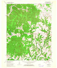
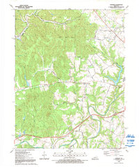
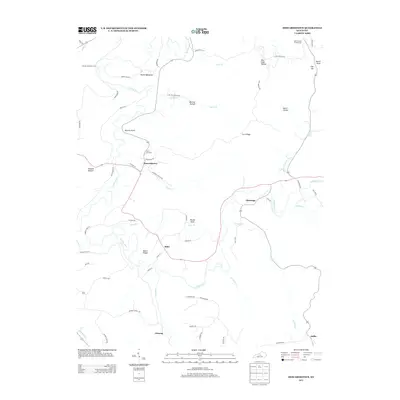
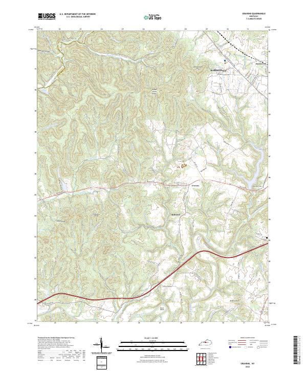
1962 Map of Cravens
USGS Topo · Published 1964About this map
Knobs State Forest and the eastern edge of Bernheim Forest dominate the northern terrain of this Nelson County landscape, where the rugged topography of the Knobs meets the fertile drainage of the Beech Fork. The 1962 revision highlights a rural infrastructure defined by small communities like Cravens and Bellwood, connected by a network of winding creeks such as Lick Creek and Tewell Creek.
Find a feature on this map
26 named features on this map. Tap any name to fly to it.
Don’t see what you’re looking for? This feature index may not catch every label — zoom into the map to look around manually.
Map Details
Editions of this 1962 Cravens Map
This is the sole edition of this map. No revisions or reprints were ever made.
Historical Maps of Bardstown Through Time
15 maps found
1949 Cravens
Nelson County, KY
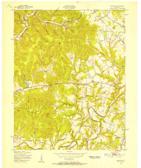
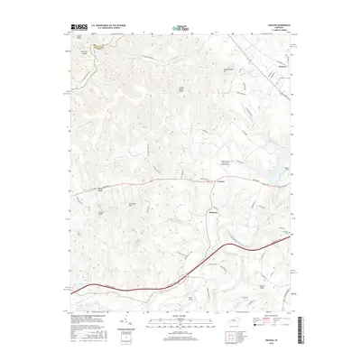
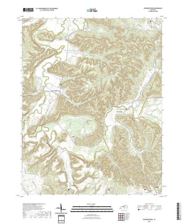
1953 Howardstown
Nelson County, KY
1962 Cravens
Nelson County, KY
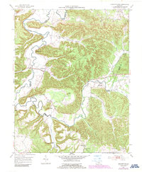
1967 Cravens
Nelson County, KY
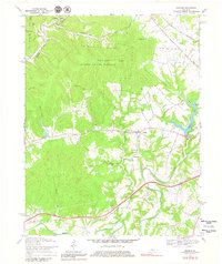
1992 Cravens
Nelson County, KY
2010 Cravens
Nelson County, KY
2010 Howardstown
Nelson County, KY
2013 Cravens
Nelson County, KY
2013 Howardstown
Nelson County, KY
2016 Cravens
Nelson County, KY
2016 Howardstown
Nelson County, KY
2019 Cravens
Nelson County, KY
2019 Howardstown
Nelson County, KY
2022 Cravens
Nelson County, KY
2022 Howardstown
Nelson County, KY