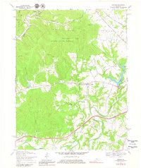
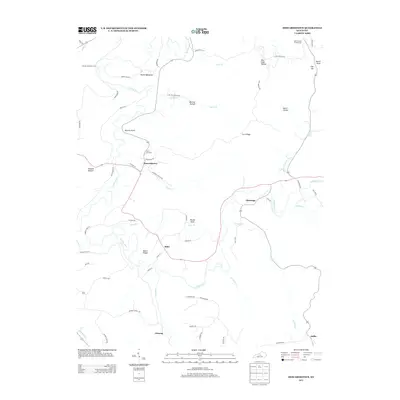
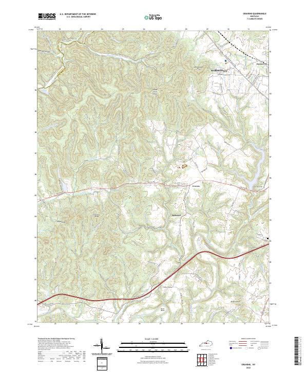
1992 Map of Cravens
USGS Topo · Published 1992About this map
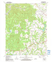
Beech Fork meanders through the southern portion of this Kentucky landscape, defining a terrain of winding creeks and ridges in Nelson and Bullitt counties. The early 1990s character of the area is one of small crossroads settlements and aviation infrastructure, with Cravens and Bellwood serving as local hubs. Samuels Field and its accompanying Landing Strip indicate the importance of regional flight, while the Blue Grass Parkway cuts through the southern hills, marking a modern transport corridor across the older rural grid.
Find a feature on this map
44 named features on this map. Tap any name to fly to it.
Don’t see what you’re looking for? This feature index may not catch every label — zoom into the map to look around manually.
Map Details
Editions of this 1992 Cravens Map
This is the sole edition of this map. No revisions or reprints were ever made.
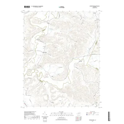
Historical Maps of Bardstown Through Time
15 maps found
1949 Cravens
Nelson County, KY
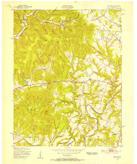
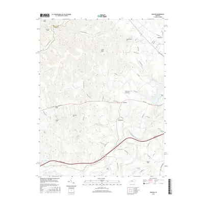
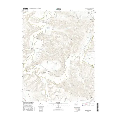
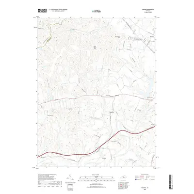
1953 Howardstown
Nelson County, KY
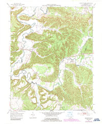
1962 Cravens
Nelson County, KY
1967 Cravens
Nelson County, KY
1992 Cravens
Nelson County, KY
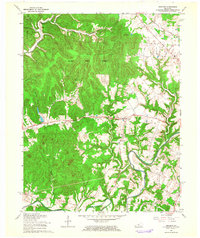
2010 Cravens
Nelson County, KY
2010 Howardstown
Nelson County, KY
2013 Cravens
Nelson County, KY
2013 Howardstown
Nelson County, KY
2016 Cravens
Nelson County, KY
2016 Howardstown
Nelson County, KY
2019 Cravens
Nelson County, KY
2019 Howardstown
Nelson County, KY
2022 Cravens
Nelson County, KY
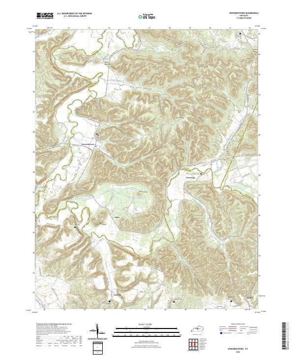
2022 Howardstown
Nelson County, KY