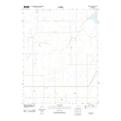
2010 Map of Crawford
USGS Topo · Published 2010About this map
Bluff Creek meanders through this portion of Rice County, illustrating the agricultural and industrial landscape of central Kansas in the early 21st century. The map centers on the small community of Crawford, where local history is anchored by family and community landmarks like Scates Cemetery, Liscum Cemetery, and Click Cemetery. These burial grounds, dispersed across the township grid, provide valuable points of reference for genealogists tracing early settler families in the region.
Find a feature on this map
24 named features on this map. Tap any name to fly to it.
Don’t see what you’re looking for? This feature index may not catch every label — zoom into the map to look around manually.
Map Details
Editions of this 2010 Crawford Map
This is the sole edition of this map. No revisions or reprints were ever made.
Other maps of this area

1891 · Hutchinson
USGS Topo · 1:125,000

1892 · Salina
USGS Topo · 1:125,000

1893 · Hutchinson
USGS Topo · 1:125,000

1894 · Ellsworth
USGS Topo · 1:125,000

1894 · Lyons
USGS Topo · 1:125,000

1942 · Salina
USGS Topo · 1:125,000

1955 · Great Bend
USGS Topo · 1:250,000

1955 · Hutchinson
USGS Topo · 1:250,000

1957 · Great Bend
USGS Topo · 1:250,000

1957 · Ellsworth
USGS Topo · 1:24,000