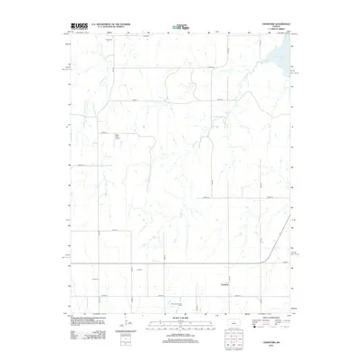
2012 Map of Crawford
USGS Topo · Published 2012About this map
The small unincorporated community of Crawford sits at the heart of this section of Rice County, serving as a focal point in a landscape defined by an orderly grid of section-line roads. The territory is characterized by its agricultural layout, punctuated by various watercourses such as Horse Cr and Bluff Cr that meander through the prairie towards the northeast corner, where the waters of Kanopolis Lake begin to emerge. For those researching local history or genealogy, the map identifies three distinct burial grounds: Scates Cem in the north, Click Cem near the center, and Liscum Cem to the southwest. Industrial and transit features also mark the region, including the Click Southeast Oil Field and the Rush Field Airport, reflecting the diversification of the local economy beyond traditional farming during this period.
Find a feature on this map
25 named features on this map. Tap any name to fly to it.
Don’t see what you’re looking for? This feature index may not catch every label — zoom into the map to look around manually.
Map Details
Editions of this 2012 Crawford Map
This is the sole edition of this map. No revisions or reprints were ever made.
Other maps of this area

1891 · Hutchinson
USGS Topo · 1:125,000

1892 · Salina
USGS Topo · 1:125,000

1893 · Hutchinson
USGS Topo · 1:125,000

1894 · Ellsworth
USGS Topo · 1:125,000

1894 · Lyons
USGS Topo · 1:125,000

1942 · Salina
USGS Topo · 1:125,000

1955 · Great Bend
USGS Topo · 1:250,000

1955 · Hutchinson
USGS Topo · 1:250,000

1957 · Great Bend
USGS Topo · 1:250,000

1957 · Ellsworth
USGS Topo · 1:24,000