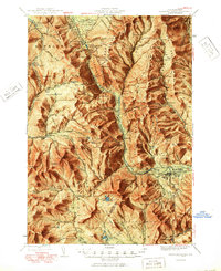
1950 Map of Crawford Notch
USGS Topo · Published 1950About this map
Crawford House stands at the gateway to the high peaks in the mid-1940s, serving as a primary landmark for the northern end of this mountainous corridor. The Maine Central RR winds along the Saco River, providing the essential transit backbone for the logging and tourism economies of the era. The presence of the Willey House PO and Notchland highlights the small, isolated clusters of activity that defined life within the White Mountain National Forest.
Find a feature on this map
159 named features on this map. Tap any name to fly to it.
Don’t see what you’re looking for? This feature index may not catch every label — zoom into the map to look around manually.
Map Details
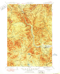
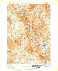
Editions of this 1950 Crawford Notch Map
3 editions found
Other maps of this area

1893 · Mt. Washington
USGS Topo · 1:62,500

1893 · Gorham
USGS Topo · 1:62,500

1894 · North Conway
USGS Topo · 1:62,500

1895 · Crawford Notch
USGS Topo · 1:62,500

1896 · Mt. Washington
USGS Topo · 1:62,500

1896 · Crawford Notch
USGS Topo · 1:62,500

1896 · North Conway
USGS Topo · 1:62,500

1896 · Gorham
USGS Topo · 1:62,500

1900 · Whitefield
USGS Topo · 1:62,500

1928 · Plymouth
USGS Topo · 1:62,500