2024 Map of Crawford
USGS Topo · Published 2024About this map
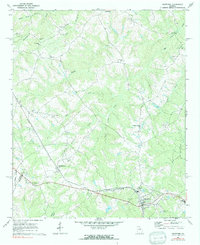
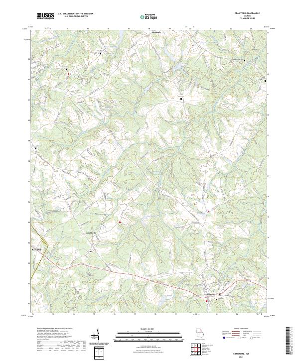
The city of Crawford and the nearby town of Arnoldsville serve as the primary hubs for this section of Oglethorpe County. This landscape is defined by its numerous family and community burial grounds, such as Mathews Cem, Clouds Creek Cem, and Randolph Tucker Cem, which provide essential points of reference for local genealogical research. In the northern reaches, the community of Smithonia sits near the headwaters of Beaverdam Creek and Beaver-Dam Lake, marking a region shaped by small-scale water management and agricultural drainage.
Find a feature on this map
127 named features on this map. Tap any name to fly to it.
Don’t see what you’re looking for? This feature index may not catch every label — zoom into the map to look around manually.
Map Details
Editions of this 2024 Crawford Map
This is the sole edition of this map. No revisions or reprints were ever made.